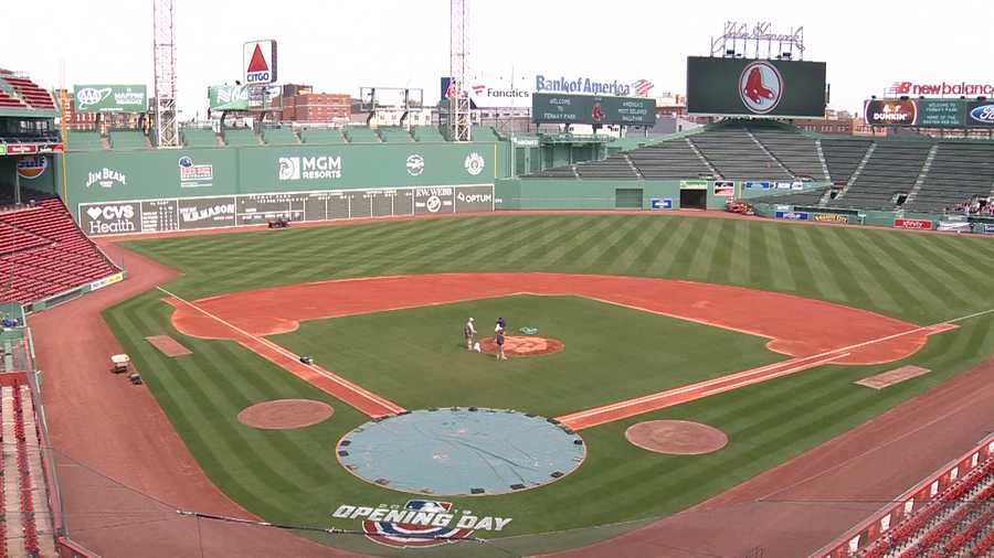
The Red Sox finally return to Fenway this week. Unfortunately, the weather for the next few days is going to be about as good as the Sox season has been thus far.
The week starts off with a backdoor front dropping south of the region as low pressure moves this way from the Midwest. That will result in some rain today, along with chilly northeast winds, and some drizzle on fog. as you head north, up into portions of Maine and central New Hampshire, we might be talking about some snow, as well as rain. In other words, it’ll be typical weather for April in New England.
That front will stall out south of New England tonight, and another wave of low pressure will ride along it on Tuesday. This will bring another round of showers in for the late afternoon and evening hours. Most of Opening Day for the Sox should be dry (except for some drizzle at times), but the longer the game goes, the better the chance for some rain moving in and causing problems.
We’ll start to improve on Wednesday as high pressure starts to build in, but an upper-level low will move across the region, so we’ll still have some clouds and maybe a few showers to deal with. Sunshine finally returns on Thursday, but temperatures will still be on the cool side. Another system brings in some showers on Friday, then high pressure returns next weekend with dry and milder weather, but we could see some showers moving in by late Sunday.
This brings us to next Monday. A week from today is Patriots Day, also known as Marathon Monday. This is the unofficial start of Spring in New England. Last year, Patriots Day featured heavy rain and cool conditions. This resulted in the Red Sox traditional 11:05am game being postponed for the first time since 1984. So, things will be much better this year, right? Right now, it’s not looking that way. There’s still plenty of time for things to change, but right now, the models are showing the potential for heavy rain again, maybe even some snow in parts of the region. We’ll keep our eyes on this through the week.

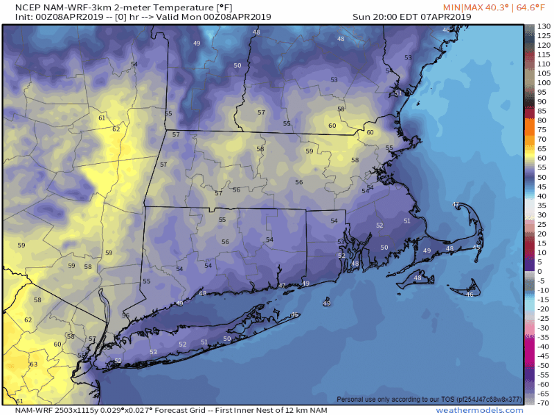
Monday: Cloudy and cool with periods of rain and showers, along with some fog and drizzle. High 43-50 north of the Mass Pike, 51-58 south of the Pike.
Monday night: cloudy with patchy fog and drizzle. Low 34-41.
Tuesday: More fog and drizzle, with showers likely late in the day. High 41-48.
Tuesday night: Mostly cloudy with showers ending. Low 31-38.
Wednesday: Intervals of clouds and sunshine, chance for a shower or two. High 43-50.
Thursday: Partly to mostly sunny. Clouds return late in the day. High 50-57.
Friday: Cloudy with a chance for some showers. High 53-60.
Saturday: Sunshine and a few clouds. High 60-67.
Sunday: Some early sun, then becoming cloudy with a chance of showers late in the day. High 52-59.

Finally, as you probably know by now, we’re big hockey fans here at Storm HQ. This is a big week in the hockey world. The NCAA Frozen Four takes place Thursday and Saturday, and the NHL playoffs start Wednesday. In the Frozen Four, we’re rooting for Providence to beat the defending champions from Minnesota-Duluth and for Denver to beat UMass by double digits. In the NHL playoffs, the picture above says it all for the 1st round at least. Go Bruins!
