We’ve certainly got an interesting week coming up, and we’re not just talking about the weather. Boston sports fans have two annual occurrences to look forward to this week – today is Truck Day, and tomorrow is Parade Day.

Today is Truck Day – one of the first signs of Spring in New England. A truck filled with baseball equipment will leave Fenway Park today, bound for Fort Myers, Florida, where the Red Sox will begin spring training in about a week. Today will feel like Spring already, with a warm front to the north, resulting in temperatures getting into the 50s with some sunshine.
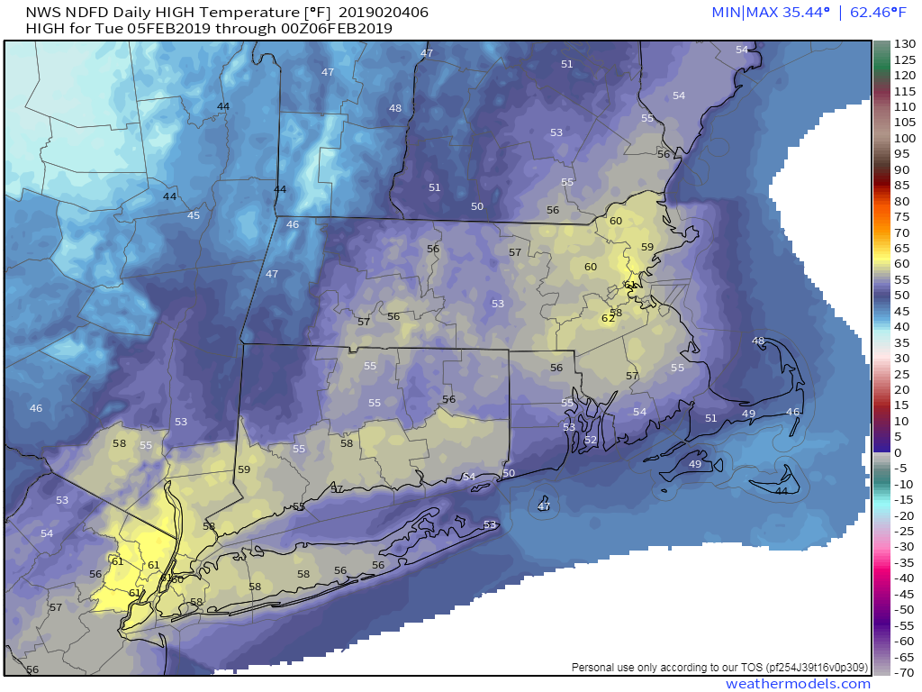
Tuesday is a more important day, as there will be another Championship Parade in the City of Boston – the 12th in 18 years. As a Boston sports fan, this does not get old, and we don’t care if the rest of the nation hate us. Tuesday will start off with some clouds, and possibly a few showers, as a weak system passes to the north, but it will be another warm day, with some places possibly reaching 60 degrees. The warmth will be short-lived, as a cold front moves through late in the day, snapping us back to reality Tuesday night and Wednesday as high pressure builds in with much cooler weather.
This brings us to the latter half of the week, where things get complicated. A system will move towards the region Wednesday night into early Thursday. This system will be fairly weak, but temperatures will be near or just below freezing when the precipitation moves in, especially north and west of Boston. So, we could be looking at some freezing rain, especially in southern New Hampshire and the Merrimack Valley. Temperatures will gradually warm above freezing everywhere as a second storm approaches for Thursday night into Friday. This will bring more rain into the area. Friday could also be a very mild day as this second system may pass well to our north and west, bringing a warm front through. Once it moves by, it drags a cold front across the region, then high pressure builds back in for next weekend with dry and colder conditions once again.

Monday: Sunshine and a few clouds, milder. High 48-55, cooler across Cape Cod.
Monday night: Becoming partly to mostly cloudy, with a few showers possible, mainly north of Route 2. Low 32-39.
Tuesday: Early clouds, then becoming partly to mostly sunny and mild. High 52-59, cooler across Cape Cod.
Tuesday night: Partly cloudy. Low 21-28.
Wednesday: More clouds than sunshine. Rain developing at night, possibly starting as some freezing rain from the Merrimack Valley northward. High 35-42.
Thursday: Cloudy with freezing rain changing to rain before ending in the morning, then redeveloping in the evening. High 36-43.
Friday: Cloudy, breezy, and mild with rain ending during the afternoon. High 48-55.
Saturday: Mostly sunny, breezy, and much cooler. High 24-31.
Sunday: Early sunshine fades behind increasing afternoon clouds. High 27-34.
