
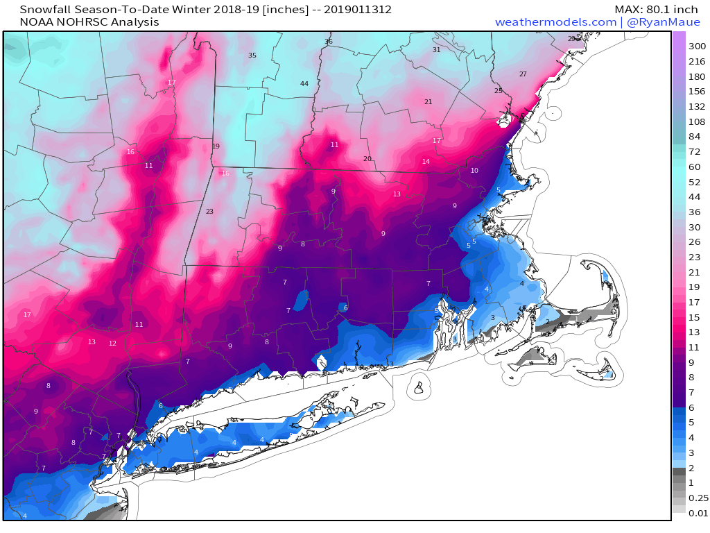
The hype train is already leaving the station – that’s right, there’s a “chance” for some snow next weekend. Since we haven’t had much snow yet this winter (haven’t heard many complaints about that), much of the media is going nuts, salivating at the prospect of a week of trying to outdo each other in the stupidity department. You’ll find none of that here, so let’s just get to the forecast.
We will start the week off with a little bit of snow for some of you, mainly along the coast and south of Boston. Northeast winds blowing over the still relatively mild Atlantic will produce a little ocean-effect snow across Cape Cod and parts of Plymouth County. We’re not talking about much more than a dusting, though a few localized spots could see an inch or even two. Otherwise, high pressure keeps us dry and seasonably cold right through Thursday.
On Friday, low pressure will approach from the west. We’ll see some light snow or rain with this system, with the best chance for any snow mainly north of the Mass Pike. Obviously, this will depend on exact track of the system, but temperatures won’t be that cold, the system won’t be that strong, and it’ll be moving along fairly quickly. So, not that big of a deal. High pressure builds in late Friday into Saturday while another storm system moves into the Southeast. This brings us to Sunday.

Many of the forecast models are showing the potential for this system to head up the East Coast Saturday night into Sunday while high pressure moves into Quebec. This is the setup for a classic Nor’easter, and most of the models are showing this. They mainly show that Sunday will feature heavy snow, strong winds, and likely some coastal flooding due to the astronomical high tides. Some of the models are showing snowfall amounts in feet, not inches. Of course, many in the media have seen this, and are gleefully hyping it up already, while throwing in words like “possible” as an afterthought, after showing maps with model snowfall amounts, meaning that nobody hears the word “possible”. Here’s the thing, this is still 6-7 days away, and as we’ve mentioned more than a few times, the models have been absolutely horrible beyond about 2-3 days. So, why would we suddenly take a 7-day forecast and believe it now? Remember, the storm that hit Washington, DC yesterday was forecast by the models a week ago to bury New England instead. In short, yes, there is a “chance” for a storm next weekend, but we’re not buying what the models are selling just yet. If they are still forecasting this as we get towards Thursday or Friday, then maybe we’ll jump on board and have a blog post about it. Until then? Nope, not gonna do it.
One thing we are certain about for next Sunday is that the Patriots season will continue, with a trip to the Super Bowl on the line against the Kansas City Chiefs. Right now, it looks like we’ll have clear skies for the game which kicks off at 6:40pm EST on Sunday, with a game-time temperature around 10 degrees. Obviously, this is subject to change for the reasons we outlined above in reference to the models. As for the game itself, the Patriots will make a 3rd straight trip to the Super Bowl after they knock off the Chefs Chiefs by a score of 34-31.
Monday: Morning flurries along the coast south of Boston, otherwise becoming partly to mostly sunny. High 27-34.
Monday night: Clear to partly cloudy. Low 15-22.
Tuesday: Sunshine and a few clouds. High 30-37.
Tuesday night: Clear to partly cloudy. Low 18-25.
Wednesday: Partly sunny. High 34-41.
Thursday: Sunshine gives way to increasing clouds. High 23-30.
Friday: Cloudy with a chance for snow north of the Mass Pike, rain or snow south of the Pike. High 33-40.
Saturday: Some early sun, otherwise partly to mostly cloudy. High 24-31.
Sunday: Cloudy and windy with a chance of snow. Highs ranging from the teens north and west of Boston, to the lower 30s across southeastern Massachusetts.
