Since we’re into January, how about we change things up and get some snow in here? Whaddyathink? Good idea? Bad idea? Don’t worry, we’re not looking at much, well at least not in in the next few days.
The week starts off on a sunny, but chilly note with high pressure in control. Both the sunshine and cold temperatures won’t last long though as low pressure starts to approach the region. Clouds move in late in the day with some light snow developing at night. However, milder air will move in, so we’ll see a fairly quick change to rain south of the Mass Pike, with the change taking place farther north during the morning. Everything winds down by early afternoon, with accumulations of an inch or two possible, mainly in southern New Hampshire.

The story doesn’t end there, as another system will quickly follow for Tuesday night and Wednesday. This one will start off as rain everywhere Tuesday night, but as the system moves into the Gulf of Maine, it will bring some cold air in, possibly changing the rain back to snow before ending Wednesday afternoon or evening. Again, we’re not looking at much accumulation, so this is not a big deal. High pressure builds in with much colder weather behind that system for Thursday through Saturday. When we say cold, we mean COLD. As in, the type of weather we haven’t had since Thanksgiving. This brings us to next Sunday.
Before we get to our thoughts on Sunday, let us say that most of the forecast models have been utter crap (note: technical term) this winter beyond about 2-3 days. This seems to happen every winter, but it doesn’t stop some of the morons that don’t know better from posting maps for a “potential” snowstorm that is a week or more away. As you’ve probably figured out by now, one of those “potential” storms is being shown by at least one of the models for the timeframe of next Sunday/Monday. In fact, over the past 2-3 days, nearly all of the models have shown this storm in one form or another, but never all at the same time. Some of them show the storm staying well south of us, with nothing happening. Some show it cutting right across New England, with rain to the south and snow to the north. Some show it clipping us with snow along the coast and nothing inland. Some show it not developing at all. And finally, some show a crippling blizzard. Of course, it’s the last one that gets the attention of the amateurs, because that’s the best way to generate clicks on their websites. It’s also the least likely scenario.
Of course, Sunday is also an important day because the Patriots host the Chargers at Gillette Stadium that afternoon. The Patriots excel in cold weather and snow, so this wouldn’t be a bad thing, unless you have tickets. The Patriots are 45-10 when the game-time temperature is 34 or colder, 13-2 in the postseason. They are 11-0 in Foxboro, when it snows.

As for the forecast for Sunday? We wouldn’t be surprised if there was some snow, but probably not during the game. Obviously we’ll keep an eye on things, and if it does look like a storm is headed our way, we’ll have a special blog post once things become clearer. As for the game itself – Patriots 27 Chargers 23, and a trip to the AFC Championship game for the 8th year in a row.
Monday: Plenty of sunshine, though clouds will start to move in late in the day. High 25-32.
Monday night: Cloudy with snow developing after midnight. Low 20-27 in the evening, then temperatures rise after midnight.
Tuesday: Cloudy with snow changing to rain from south to north, ending by early afternoon. Snow accumulation an inch or so from the Merrimack Valley into southern NH, less than an inch elsewhere. High 38-45.
Tuesday night: Cloudy and breezy with rain likely, possibly a little freezing rain or snow across central NH. Low 32-39.
Wednesday: Mostly cloudy and breezy with showers gradually changing to snow showers before ending in the evening. Little snow accumulation expected. High 37-44.
Thursday: A mix of sun and clouds, breezy, and colder. High 30-37.
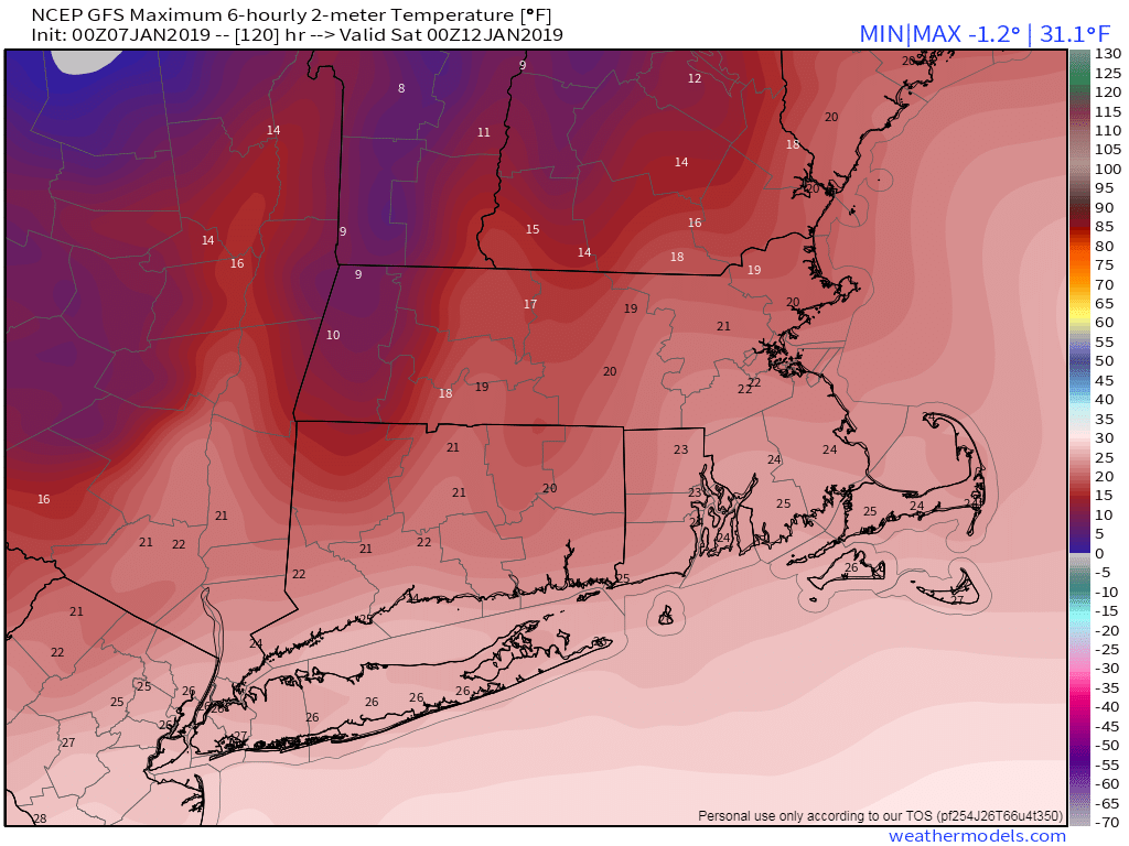
Friday: Mostly sunny and cold. High 18-25.
Saturday: A sunny start, clouds move in during the afternoon. High 21-28.
Sunday: Mostly cloudy with a chance for snow. High 23-30.
