The calendar says July, and it’s going to be warm and humid all week long, but our first hints of fall will be showing up this week. Many of you will rejoice at this. That’s right – the Patriots are back! Training camp opens this week. Before you know it, the leaves will be falling, pumpkin-flavored everything will be available everywhere, and we’ll be spending every Sunday in front of the TV watching football. Until then, we’ve got this humidity to deal with.
Before we start, we’re going to rant a little bit. Above you’ll see a random sampling of 3 forecasts that we pulled off the web late Sunday night. You’ll notice that they all have an icon and a temperature for each day. We don’t do that here at StormHQ. There are many times, especially here in New England, where an icon doesn’t tell you the whole story. Take for example, a winter day around here. It can start off with sunshine in the morning, then clouds move in, snow develops in the afternoon, it mixed with sleet, freezing rain, and changes to rain before dinner time. It’s happened plenty of times, and will again. Exactly what icon would you use to convey that info? This is why we try to explain everything. An icon doesn’t work all the time. This week, that will be the case nearly every day. But hey, if you just want a quick forecast without any details, there are a million websites and apps out there for you, most of them will just regurgitate the models because they are computer-generated or run by people who think they are meteorologists because they can read the models. If you want to actually find out what the forecast is, ignore the app and check with an actual meteorologist.

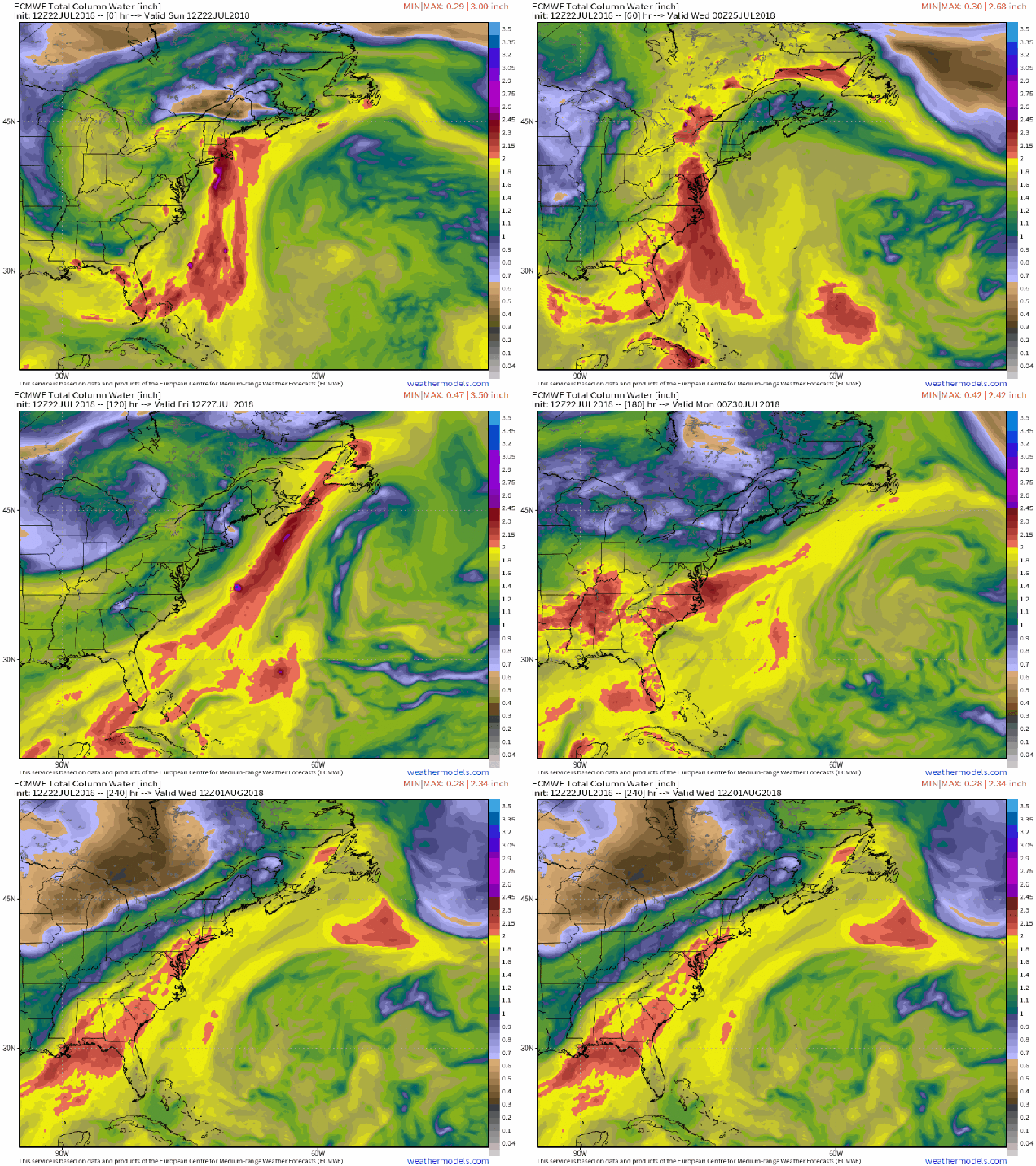
As for the forecast for this week, the big picture is relatively simple, but the details aren’t as east. As we wrote in our post this past Friday, a rather humid airmass has settled into the region, and it isn’t going away any time soon. We’ve got high pressure anchored off the East Coast, and an upper-level trough of low pressure generally centered across the Midwest. As a result, southerly winds will pump warm and humid air northward from the tropics to most of the East Coast. Dewpoints will generally be in the upper 60s and 70s all week, so expect numerous bad hair days, unless of course, you are bald.

With warm and humid air in place, we’ll have showers and thunderstorms popping up, some of which will produce heavy rainfall in spots. As you can see in the icons above, those showers and storms are possible every day. That doesn’t mean it’s going to rain everywhere each day. Some days will feature only isolated activity as the high pressure area drifts westward. Some days will feature more widespread activity. We’ll try our best to figure out which days are likely to be wetter than others, but as we already mentioned, each day likely has a chance for at least a few showers or storms in some locations.

Monday: Early clouds and a few showers, then becoming partly sunny, with a chance for some more showers and thunderstorms in the afternoon, mainly from MetroWest and points north and westward. High 77-84.
Monday night: Partly to mostly cloudy. Low 66-73.
Tuesday: Partly to mostly sunny, just a slight chance for a pop-up shower or two. High 80-87.
Tuesday night: Becoming partly to mostly cloudy again. Low 67-74.
Wednesday: More clouds than sunshine, scattered showers and thunderstorms possible. High 79-86.
Thursday: Cloudy early, some sunshine returns in the afternoon, showers and thunderstorms may develop. High 77-84.
Friday: Partly sunny, slight chance for a pop-up shower or two. High 83-90.
Saturday: Early clouds, maybe a shower, then becoming partly to mostly sunny. High 80-87.
Sunday: Intervals of clouds and sun, slight chance for a shower or thunderstorm. High 79-86.
And finally, for our friends at the Franklin Yacht Club, here’s the preliminary forecast for the 3rd annual Regatta and celebration on Saturday: A cloudy start. maybe even a few showers in the morning, with sunshine developing as we head into the afternoon. Southwest winds at 5-10 knots in the morning increase to 10-15 knots in the afternoon. Seas may be a little rough but shouldn’t be that bad. Temperatures will start the day in the middle 70s, and rise into the lower 80s during the afternoon. At least check, water temperatures from a buoy near the Fall River end of the Braga Bridge were reading 75 degrees.


