Arctic Outbreaks. Blizzards. Sub-zero wind chills. These things are common around here in the month of February. None of them will be in the forecast this week. In fact, this week will be rather quiet and, believe it or not, mild (for the most part).
The week starts off with a cold front pushing offshore and high pressure building into the Northeast. Any lingering showers will end in the morning, but skies will only gradually clear out. Monday night and Tuesday will be clear and chilly as the high settles in. As the high moves offshore, milder conditions are expected on Wednesday, but clouds will also start to move in as a cold front starts to slowly approach from the west. Thursday will be a cloudy and mild day, with a few showers possible. The front finally pushes through on Friday with some rain and cooler conditions expected. High pressure returns for the weekend with dry and cooler conditions once again.

Monday: Some lingering showers near the South Coast early in the day, otherwise cloudy in the morning, with clearing in the afternoon. High 40-47, except for southeastern Massachusetts and Cape Cod where temperatures will start the day 48-55 then drop.
Monday night: Becoming mostly clear. Low 16-23.
Tuesday: Plenty of sunshine, clouds start to move back in late in the day. High 29-36.
Tuesday night: Partly to mostly cloudy. Low 21-28.
Wednesday: Early clouds, then becoming partly to mostly sunny and milder. High 41-48.
Thursday: Chance for some showers early, otherwise partly to mostly cloudy and mild. High 52-59.
Friday: Some morning showers, then gradual clearing, breezy, and turning cooler. High 46-53 early, then temperatures drop in the afternoon.
Saturday: Sunshine and some afternoon clouds. High 29-36.
Sunday: Mostly sunny. High 40-47.
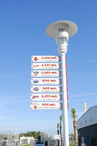
While it won’t be in the 80s around here this week like it will in Fort Myers, pitchers and catchers report tomorrow. Spring training has arrived, which means we’re that much closer to the end of winter. That doesn’t mean we’re done with snow, but we’re getting there. Don’t forget about the Bruins and Celtics too, and, we’re also less than 3 weeks away from the start of the season for the Revolution.
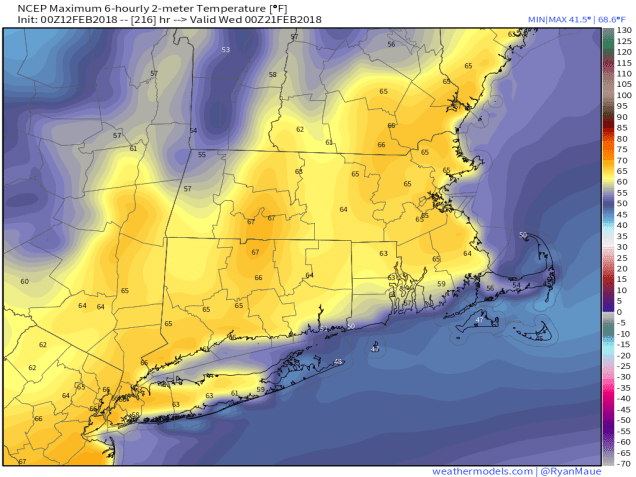
If you are looking for other signs of Spring, take the following with a grain of salt, but both the GFS and ECMWF models are showing next Tuesday to be a mild day ahead of a cold front. We’re not ready to jump on board with that forecast yet, since it’s still 8 days, but it certainly looks nice. How nice? We’ll let the GFS map do the talking: