August has arrived, and typically, this means the “Dog Days of Summer”. The next few days though will not feel like that around here. Oh sure, heat could make a comeback late in the week, but even then, it will be short-lived.

After one of the driest Julys on record across the region, we’re going to start August off with some rainfall. Oh, it won’t be a lot, in fact, it’ll probably be precious little in many places, but right now, we need all that we can get. A frontal system is stalled out south of the region, and a wave of low pressure will ride along it. This will give us clouds, cool temperatures, and some showers for Monday and early Tuesday. Once the wave moves by, high pressure builds in, with drier weather for much of the remainder of the week. Temperatures will trend upwards once again, with some 90-degree readings possible late in the week. By Saturday, another cold front will be coming through, with showers and thunderstorms possible. High pressure brings drier weather again for the end of the weekend.

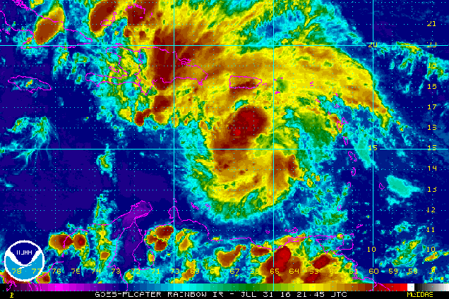
The other thing that August is known for is the tropics getting more active. We’ll get into more details on that with a blog post in another day or two, but currently we have a typhoon heading directly toward Hong Kong and a Tropical Depression in the Eastern Pacific. We are also watching a system in the Bay of Bengal that could threaten India, another system southwest of Mexico, and a system moving across the Caribbean. The latter one could threaten the Yucatan or Central America later this week.
Monday: Plenty of clouds with occasional showers possible. High 71-78.
Monday night: Mostly cloudy with a chance for a shower or two. Low 59-66.
Tuesday: Chance of showers early, then partial sunshine develops in the afternoon. High 72-79.
Tuesday night: Clearing skies. Low 55-62.
Wednesday: Sunshine and a few clouds. High 76-83.
Thursday: Partly to mostly sunny. High 80-87.
Friday: A mix of sun and clouds. High 85-92.
Saturday: Partly sunny with a chance of showers and thunderstorms. High 86-93.
Sunday: Becoming partly to mostly sunny. High 80-87.
For those interested in learning more the weather – the 17th annual Southern New England Weather Conference will take place on Saturday October, 29, 2016. Registration for the conference is now open. The conference is open to all, meteorologists and weather enthusiasts. Some of this year’s topics include the 25th anniversary of both Hurricane Bob and “The Perfect Storm”, how El Nino impacts New England, and Tornadoes in New England. If you’re interested, visit the website for all of the details and to register.
