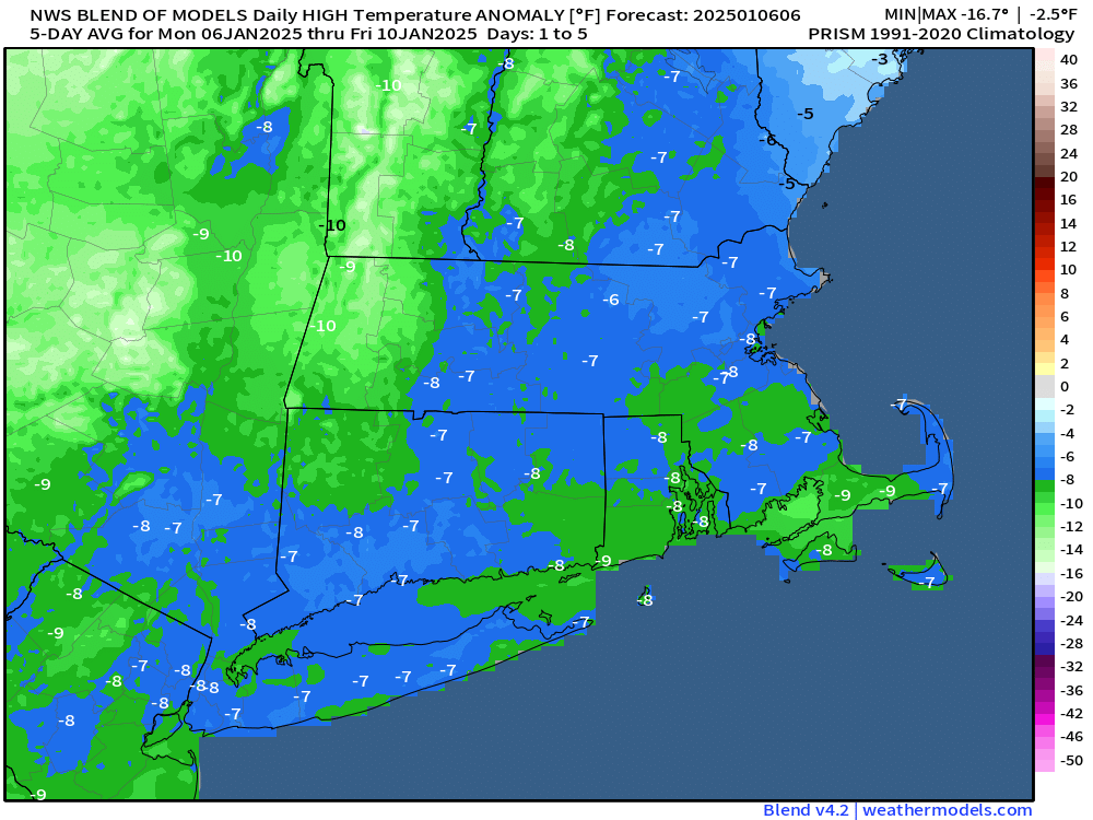
Some rather cold air is on the way, and it will hang around for a few days.

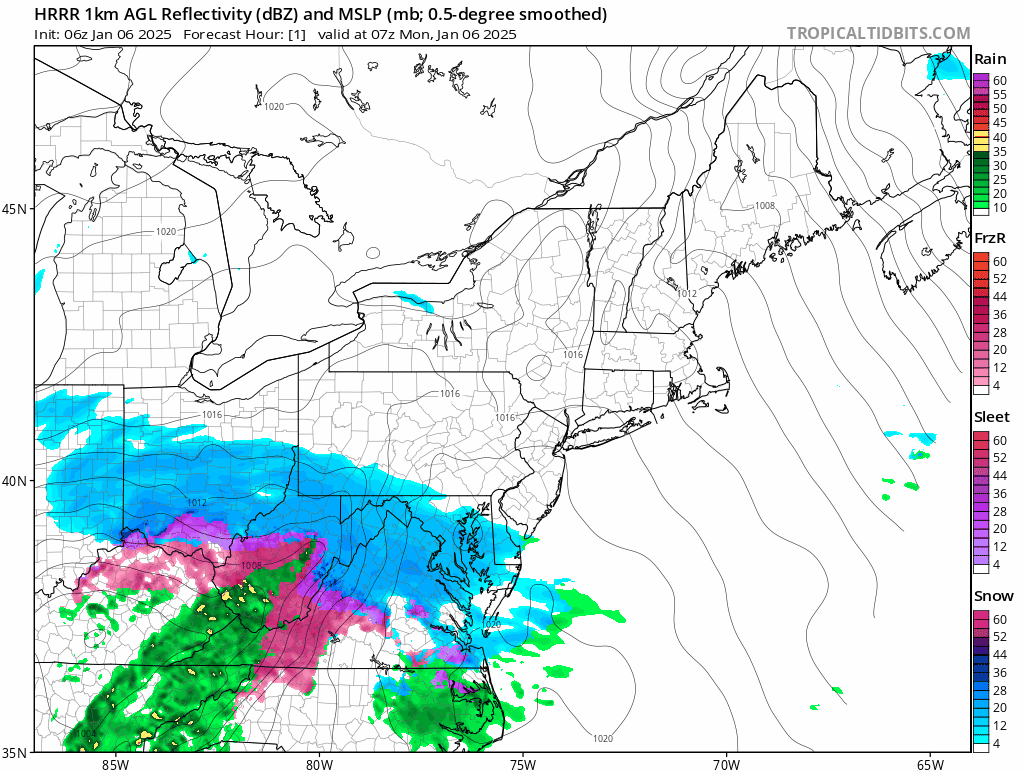
The storm that brought us some snow last night will pull away today with any lingering snow ending early this morning and skies rapidly clearing by afternoon. As the colder air floods in on gusty northwest winds, temperatures may only get back up into the lower to middle 20s in the afternoon, with wind chills in the teens and single numbers. Winds die down during the evening, and with clear skies and fresh snowcover, it’s going to be a rather cold night, with lows dropping into the single numbers, possibly even below zero in a few of the colder spots. High pressure builds in with cold temperatures for Tuesday into Thursday, with many places not reaching 20 degrees on Tuesday or Wednesday. Wind chills will be in the single digits during the day and below zero at night. We are going to have a low pressure area passing well south of the region Tuesday night into early Wednesday, sending some clouds in, but we should remain dry, except for possibly a few flurries across the Outer Cape and Islands. Thursday looks dry and cold as well, but temperatures may be a few degrees milder than the previous couple of days.
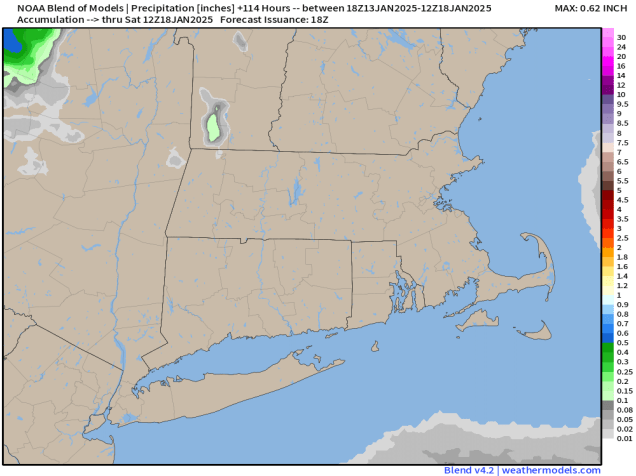
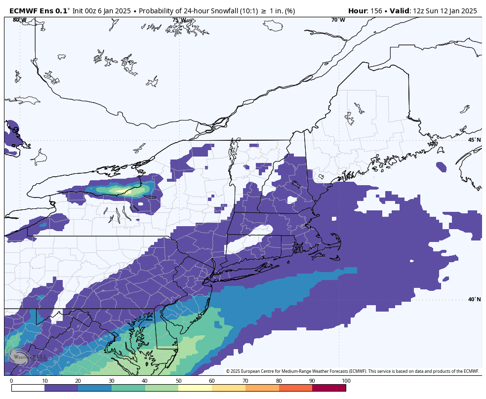
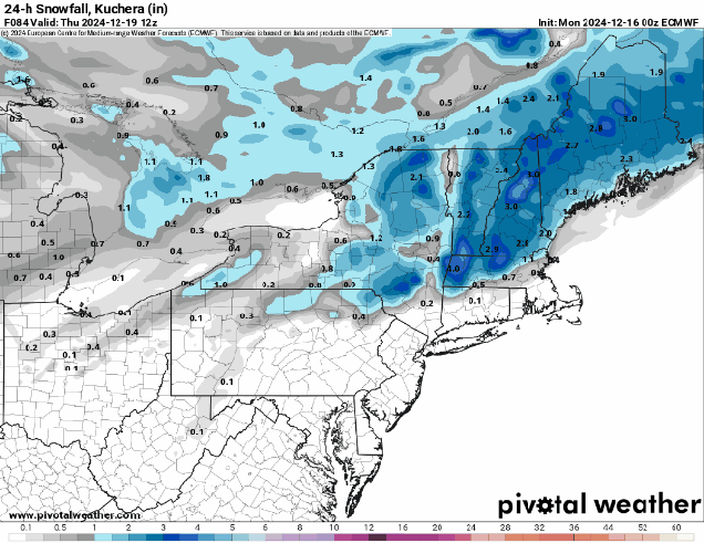
We’re watching another system that will pass south of the region Thursday night and early Friday. Right now, this one looks like it will stay a little too far offshore to have much impact, but again, there could be some snow in parts of Cape Cod and possibly southeastern Massachusetts. It’s too early to tell how close it will get, so we’ll keep an eye on it, and should have a much better idea when we publish our Weekend Outlook on Thursday. Temperatures will moderate a bit more for Friday and Saturday, then a cold front may produce a few snow showers on Sunday.

Monday: Any lingering snow ends early, then becoming mostly sunny with a few afternoon clouds, breezy, especially during the morning and early afternoon with some blowing snow. High 19-26. (Wind chill 5-15).
Monday night: Partly cloudy during the evening, then becoming clear overnight. Low 1-8, a little milder across the Cape and Islands. (Wind chill -5 to +5)
Tuesday: Morning sunshine, then increasing afternoon clouds. High 15-22. (Wind chill 5-15)
Tuesday night: Evening clouds, possibly a few flurries across the Outer Cape and Islands, then clearing. Low -2 to +5, a little milder across the Cape and Islands. (Wind chill -10 to 0)
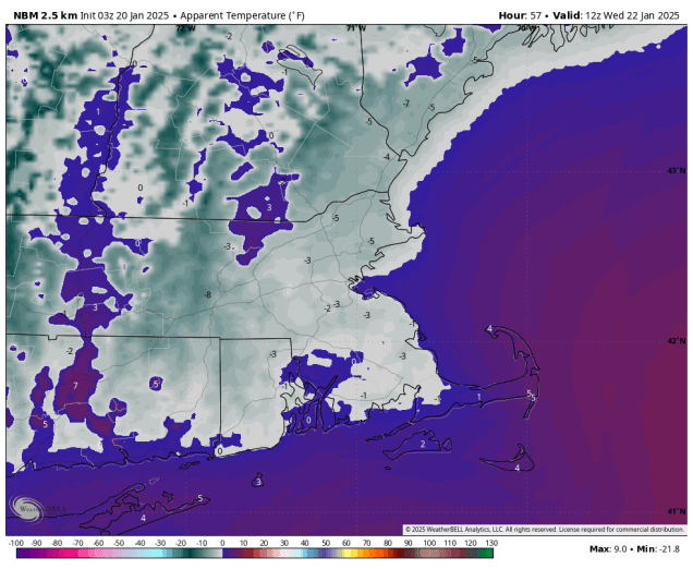
Wednesday: Mostly sunny and cold. High 14-21. (Wind chill 5-15)
Wednesday night: Partly cloudy. Low 1-8, a little milder across the Cape and Islands. (Wind chill -5 to +5)
Thursday: Partly sunny, not as cold. High 24-31. (Wind chill 15-25)
Thursday night: Partly cloudy, slight chance for some light snow or snow showers across southeastern Massachusetts and Cape Cod. Low 8-15, a little milder across the Cape and Islands.
Friday: A mix of sun and clouds. High 26-33.
Saturday: Sunshine and some late-day clouds. High 27-34.
Sunday: More clouds than sun, chance for a few snow showers. High 32-39.