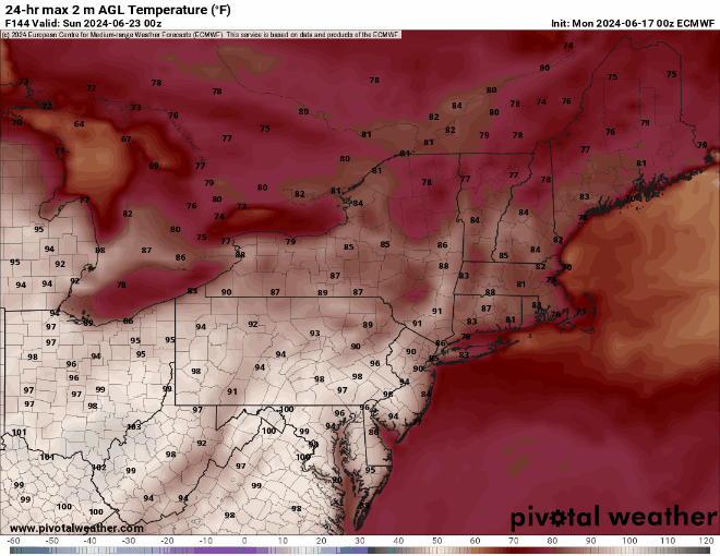
As we head into the last week of June, we’ll enjoy some warm weather with humidity levels rising and dropping at various points.

A cold front will move across the region during the day today, but moisture will be limited, so only a few stray showers will likely accompany the front. Drier air settles in behind it for tonight and Tuesday. High pressure builds in behind the front on Tuesday with plenty of sunshine and warm temperatures. Another cold front will begin to approach on Wednesday, with hot and humid weather returning. As the front moves in late in the day, another round of showers and thunderstorms is expected. The timing of the front will determine whether we’re looking at more severe weather or not, but the potential exists, as long as the front moves in during the afternoon. Showers and storms come to an end late Wednesday night or early Thursday, then high pressure builds back in with cooler and drier conditions for Thursday and Friday. As that high moves offshore, warmer and more humid weather returns on Saturday. Another frontal system may move in on Sunday, with another round of showers and thunderstorms possible.

Monday: A mix of sun and clouds, slight chance for an afternoon shower. High 79-86.
Monday night: Partly cloudy during the evening, clearing overnight. Low 58-65.
Tuesday: Sunny, not as humid. High 82-89.
Tuesday night: Partly cloudy. Low 64-71.
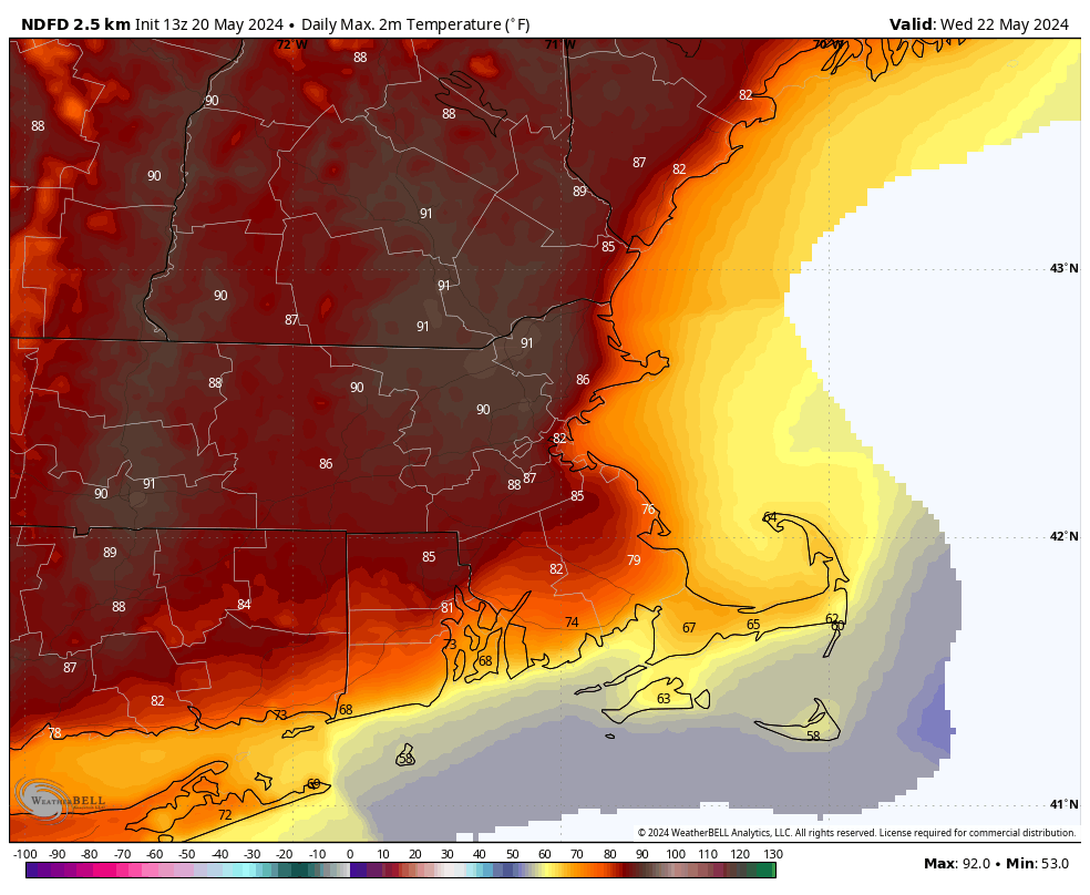
Wednesday: Early sun, then increasing clouds, showers and thunderstorms likely late in the day and at night, breezy, more humid. High 86-93, a little cooler near the South Coast.
Thursday: Becoming partly to mostly sunny, drier. High 77-84.
Friday: Plenty of sunshine. High 73-80.
Saturday: Partly sunny. High 77-84.
Sunday: Intervals of clouds and sun, chance for some showers and thunderstorms. High 81-88.