As we flip the calendar we’ve some absolutely fantastic weather on tap for much of the upcoming weekend.

We’re starting off with some rain as a wave of low pressure rides along a stalled out frontal system just south of New England. Some of the rain could be heavy this evening and tonight, but the bulk of the heavy rain will stay southwest of our area, mainly across the Mid-Atlantic states. We do need the rain that we are getting though, as it has been on the dry side for the past couple of months, with drought conditions starting to re-emerge in spots. Once the rain ends Friday morning we’ll see skies start to clear out by late in the day, then high pressure builds in for the weekend with lots of sunshine. Temperatures will be a little below normal for Saturday but still rather mild, with a warming trend back to near normal on Sunday and a little above normal on Monday, but humidity levels will remain comfortable the entire time.
Thursday night: Periods of rain and showers, possibly heavy at times, tapering off late at night, breezy. Low 56-63.
Friday: Any lingering showers end in the morning, skies start to clear out in the afternoon, breezy. High 68-75.
Friday night: Becoming clear. Low 53-60.
Saturday: Sunshine and a few clouds. High 73-80.
Saturday night: Clear skies. Low 54-61.
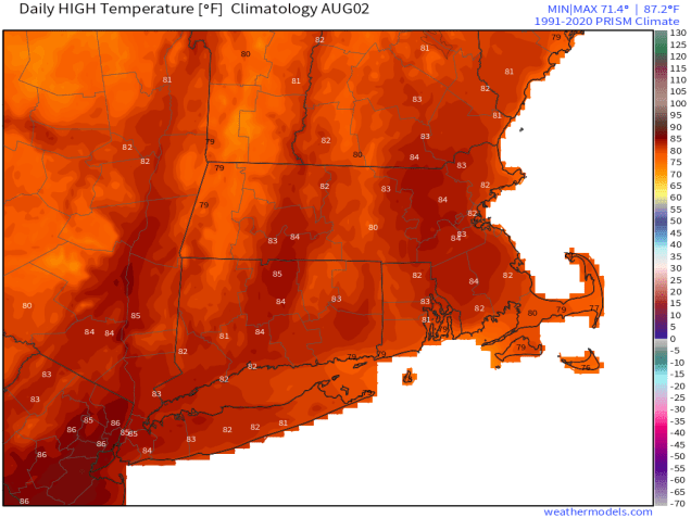
Sunday: Plenty of sunshine. High 79-86, a little cooler across Cape Cod.
Sunday night: Clear skies. Low 58-65.
Monday: Mostly sunny. High 82-89, a little cooler near the South Coast and Cape Cod.
