We’ve got a fairly typical week of weather for mid-June coming up across the region.

We start the week off on a cloudy and cool note with a warm front off to our south and a weak upper-level disturbance moving through, possibly producing a few widely scattered showers. The warm front moves through late tonight and early Tuesday as low pressure passes north and west of the region. This will result in a warmer and more humid day, with some showers and thunderstorms expected ahead of a cold front trailing that low pressure system. Behind that front high pressure builds in with warmer and drier weather for Wednesday and Thursday with temperatures well into the 70s, with some 80s, especially on Thursday. Although we’ll have sunshine, smoke from Canadian wildfires may result in hazy skies both days, and my keep temperatures a little lower than we are currently expecting.

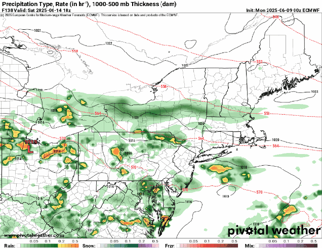
The end of the week is a lot more uncertain at this point. We’ll have a big high pressure area across southeastern Canada, and a frontal system stalled out south of New England, with waves of low pressure riding along it. Where that front stalls out and has the waves move through determines when (or if), we get any rain (and how much) next weekend. Friday should be a mostly dry day with the front moving through, though there could be a few showers accompanying it. It’s the weekend that has the most uncertainty. Some models keep Saturday dry, some have some showers, some heave steadier rain especially late in the day. Sunday is fairly similar, with some models showing a decent amount of rain, some having just some showers, and some keeping us mostly dry. Temperatures will also be dependent on the position of the front and waves riding along it, along with the timing and amount of any rainfall. Don’t go cancelling any weekend plans just yet as it’s still several days away and there’s a lot of uncertainty, but have a backup plan ready just in case.
Monday: Areas of morning fog, otherwise mostly cloudy with a few showers possible. High 63-70, coolest along the coast.
Monday night: Overcast with a few showers and some dense fog possible. Low 53-60.
Tuesday: Plenty of clouds with showers and some thunderstorms. High 67-74.
Tuesday night: Showers end in the evening followed by clearing after midnight. Low 55-62.
Wednesday: Plenty of sunshine, breezy. High 76-83, a little cooler across Cape Cod.
Wednesday night: Mostly clear. Low 60-67.
Thursday: Sunshine and some afternoon clouds, breezy. High 78-85, a little cooler across Cape Cod.
Thursday night: Partly to mostly cloudy. Low 56-63.
Friday: Intervals of clouds and sun. High 72-79.
Saturday: Mostly cloudy with some showers possible. High 65-72.
Sunday: More clouds than sun with a chance for more showers. High 65-72.
