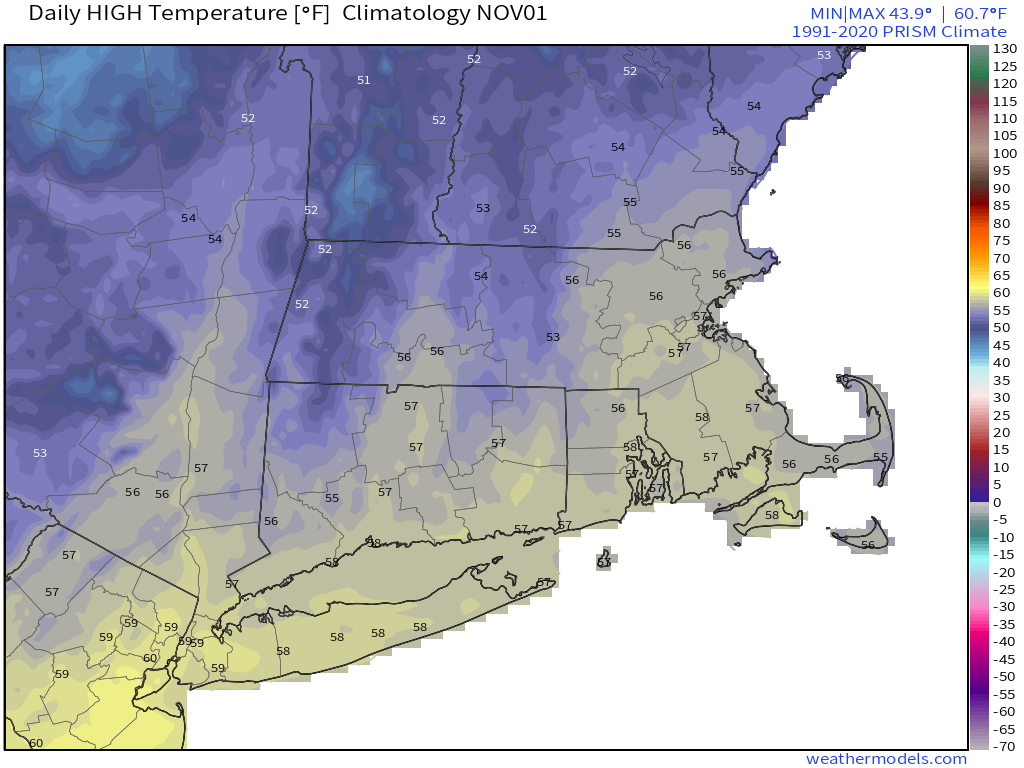
As we flip the calendar to November, it certainly won’t feel like the final month of fall for a good portion of the week.

We start the week off with low pressure moving from the Tennessee Valley into the eastern Great Lakes. It will spread clouds into the region today, with a few showers likely tonight into early Tuesday. Once that system moves by, high pressure builds in with drier conditions for Wednesday right through to Saturday. Temperatures will be mild for the most part, and next weekend could see temperatures get into the 70s away from the coastline. By Sunday, a cold front will drop down from the north with some showers, but temperatures will be dependent on the timing of the front. The later it moves through, the more likely it is that we have another warm day.

Monday: Plenty of clouds with some sunny breaks at times. High 60-67.
Monday night: Mostly cloudy, chance for a few showers. Low 50-57.
Tuesday: Chance for a few showers early, some clearing may take place late in the day. High 62-69.
Tuesday night: Becoming clear. Low 48-55.
Wednesday: Plenty of sunshine. High 61-68.
Thursday: Sun, sun, sun! High 56-63.
Friday: Partly sunny. High 62-69.
Saturday: Intervals of clouds and sun. High 65-72.
Sunday: Partly to mostly cloudy with showers possible. High 65-72.