As is typical of summer, we’ve got a fairly uneventful week coming up across the region.
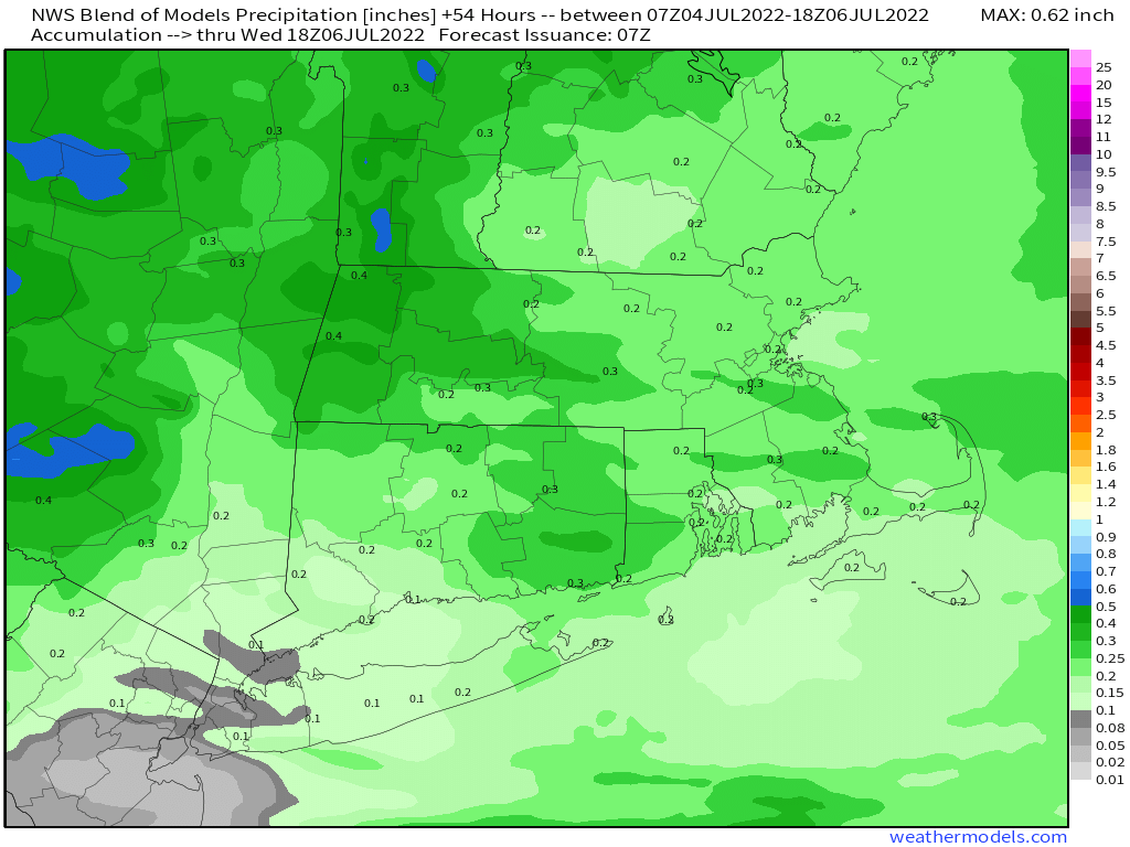
High pressure remains in control today with sunshine, warm temperatures and comfortable humidity. As the high moves offshore, a weak system will head towards northern New England. Clouds will start to move in Monday night, but they’ll start to thicken up Tuesday afternoon, with a round of showers and thunderstorms expected late Tuesday afternoon and Tuesday night. High pressure builds back in for Wednesday through Friday with dry and seasonably warm conditions. Another system will bring in a few showers and thunderstorms late Friday or Saturday, then high pressure builds back in for Sunday.
Monday: Sunshine and some late-day clouds. High 78-85.
Monday night: Partly cloudy. Low 59-66.
Tuesday: Some morning sun, then becoming mostly cloudy and breezy, showers possible late in the day. High 81-88.
Tuesday night: Mostly cloudy with showers likely, ending late at night. Low 64-71.
Wednesday: Becoming mostly sunny. High 78-85.
Thursday: A mix of sun and clouds. High 77-84.
Friday: Partly sunny with a chance for showers late in the day and at night. High 78-85.
Saturday: Partly sunny, chance for a few showers, mainly early. High 74-81.
Sunday: Mostly sunny. High 75-82.
