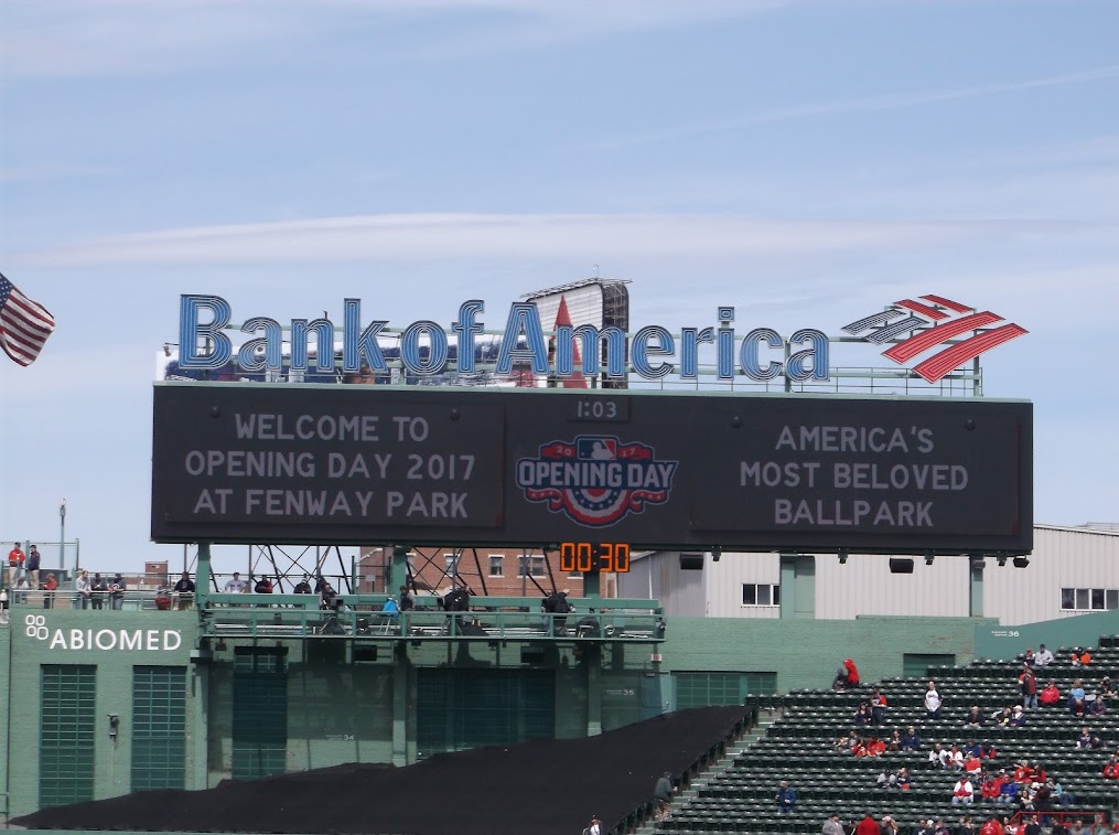
With both Opening Day at Fenway and Easter coming up this week, the forecast will be under a bit more scrutiny. As you might expect in mid-April, we’ve got a rather typical springtime pattern coming up this week, which means it’ll be warm, cool, dry, and wet. Let’s try to make some sense of that.
We start off with high pressure building in today, giving us some sunshine and seasonably mild temperatures. Clouds start to stream in tonight ahead of low pressure heading toward southeastern Canada. That system will send a warm front toward the region early Tuesday, with some showers likely Monday night into Tuesday morning. We’ll clear out in the afternoon and turn milder before a cold front moves through during the afternoon with little fanfare. High pressure builds back in for Tuesday night into Wednesday before the next system starts to head toward the region.
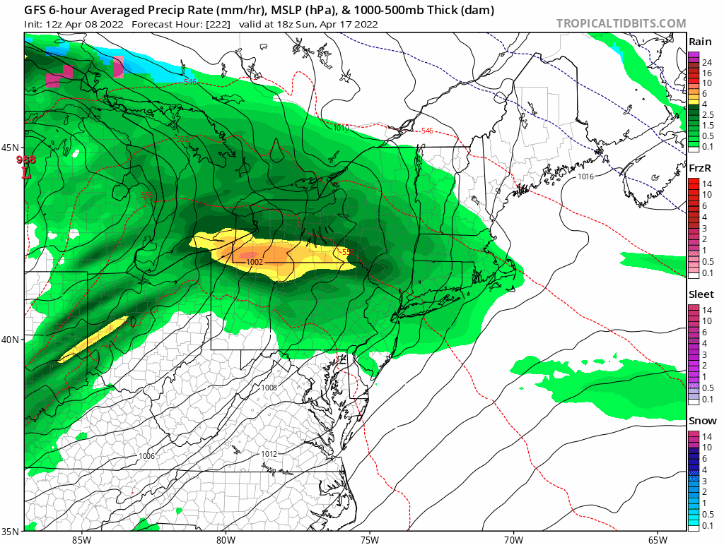
The next system will be making headlines across the nation for a few days before it arrives. It’ll produce heavy rain and mountain snow in the Northwest and Northern California, a blizzard in the Northern Plains, and widespread severe weather from the Central and Southern Plains into the Mississippi Valley. None of that is expected here, but we will have some rain, which could be heavy at times on Thursday. Temperatures will be highly dependent on how far north the warm front ahead of the systems gets. South of the front, temperatures could soar into the 70s, while north of the front, it could stay in the 40s and 50s. As the system drags a cold front through late Thursday, the rain will end, and so will any of the warm weather that moves in. High pressure builds in for Friday with drier and a return to seasonable temperatures. For the Red Sox home opener on Friday at Fenway, for now it looks to be partly sunny with temperatures somewhere around 60.

Next weekend presents some question marks. The models all handle the following system differently, not only from model to model, but from run to run. So, we’re looking at another period of rain and cooler temperatures at some point between Saturday and Monday, but we’re not quite sure when. Some models have even hinted at the potential for a little snow in the hills or even southern New Hampshire. So, what you see below represents our best thinking for now, but realize that it will almost certainly change by the time we get to our Weekend Outlook on Thursday. With Sunday being Easter, and next Monday being Patriots Day, a.k.a. Marathon Monday, the forecast is fairly important, so we hope to have a fairly good idea of what to expect by Thursday.
Monday: Mostly sunny, clouds start to move in late in the day. High 55-62.
Monday night: Becoming cloudy with showers developing. Low 39-46.
Tuesday: Showers end early, becoming partly to mostly sunny in the afternoon. High 62-69.
Tuesday night: Clear to partly cloudy. Low 39-46.
Wednesday: Morning sun, increasing afternoon clouds, showers develop at night. High 60-67.
Thursday: Mostly cloudy with occasional rain and showers. High 62-69, potentially even warmer south of the Mass Pike, but potentially much cooler from the North Shore to the New Hampshire Seacoast.
Friday: Partly sunny. High 60-67.
Saturday: A mix of sun and clouds, breezy, chance for showers. High 60-67.
Sunday: Intervals of clouds and sun, breezy, showers possible. High 52-59.
