The weather won’t exactly be that great for the next few days, but it could be a lot worse.
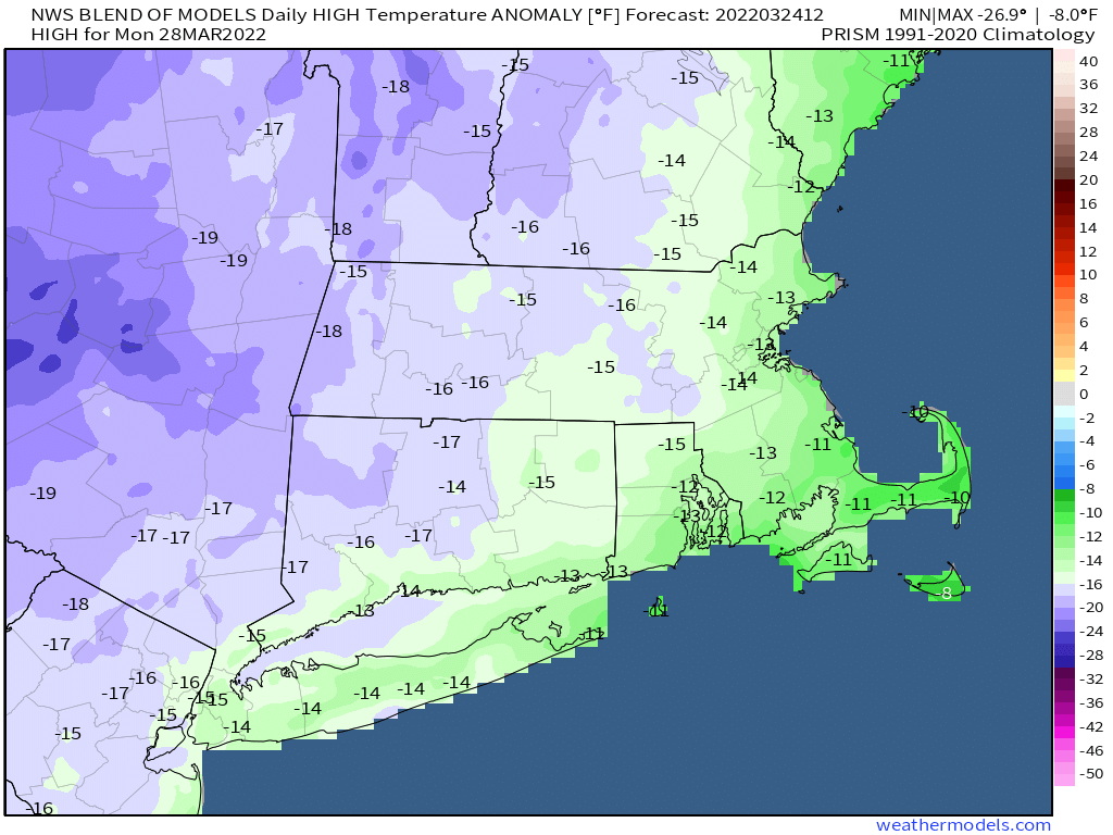
Rain will become steadier and heavier this evening and tonight as low pressure passes south and east of Cape Cod. The rain should taper off and end toward daybreak, then we’ll see some clearing, and temperatures will actually turn a bit milder for Friday afternoon. However, an upper-level low pressure system will slowly make its way into the Northeast, and will take all weekend to do so. What that means for actual weather is we’ll have sunshine in the morning, then clouds will develop, with a few pop-up showers both Saturday and Sunday. Temperatures will also be a bit cooler. In fact, with cold air aloft, some of those showers could contain some graupel, which is small, soft hail. Even colder air moves in for Monday, which will feel more like winter than spring, with temperatures likely in the 30s for highs. Don’t be surprised if there’s a snow flurry or two as that upper-level low will be slow to depart.
Thursday night: Rain likely, tapering off toward daybreak. Low 37-44.
Friday: Any lingering showers end early, some clearing during the afternoon. High 55-62.
Friday night: Clear to partly cloudy. Low 34-41.
Saturday: Sunshine and afternoon clouds, chance for a shower or two. High 50-57.
Saturday night: Partly cloudy. Low 32-39.
Sunday: Partly sunny, breezy, chance for a shower or two. High 45-52.
Sunday night: Partly cloudy. Low 20-27.
Monday: A mix of sun and clouds, breezy, slight chance for a rain or snow shower. High 31-38.
