After yet another deluge, the unofficial end of summer will feature mostly dry weather.

High pressure builds in tonight with dry and cool conditions. Friday will remain mostly dry with high pressure in control, but an upper-level low will slowly pull away and a disturbance riding around it will produce some clouds, and possibly a sprinkle or shower Friday afternoon. The high slides offshore on Saturday, keeping us dry, but temperatures will start to warm up once again. A weak frontal system moves through on Sunday with plenty of clouds, and a few showers Sunday afternoon and night. The system pulls away on Labor Day and high pressure builds back in, with dry and seasonably warm conditions returning.
Thursday night: Clear and cool. Low 49-56.
Friday: Sunshine and some afternoon clouds, chance for a sprinkle or shower during the afternoon. High 66-73. Offshore: Northwest winds 5-15 knots, seas 2-4 feet.
Friday night: Becoming mostly clear. Low 51-58.
Saturday: Plenty of sunshine. High 71-78. Offshore: Northwest to west winds 10-15 knots, seas 2-4 feet.
Saturday night: Increasing clouds. Low 53-60.
Sunday: Mostly cloudy, showers possible late in the day. High 70-77. Offshore: Southwest winds 10-15 knots, gusts to 20 knots, seas 2-4 feet.
Sunday night: Cloudy with occasional showers. Low 59-66.
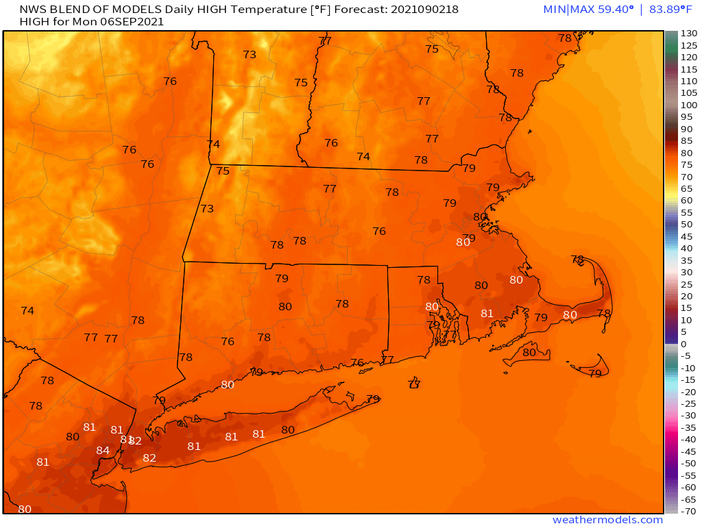
Labor Day: Any showers end early, becoming partly sunny in the afternoon. High 74-81. Offshore: Southwest winds 5-15 knots, seas 3-5 feet.
