We’ve got a nice start to the week with seasonably warm temperatures and low humidity, but changes are coming once again.
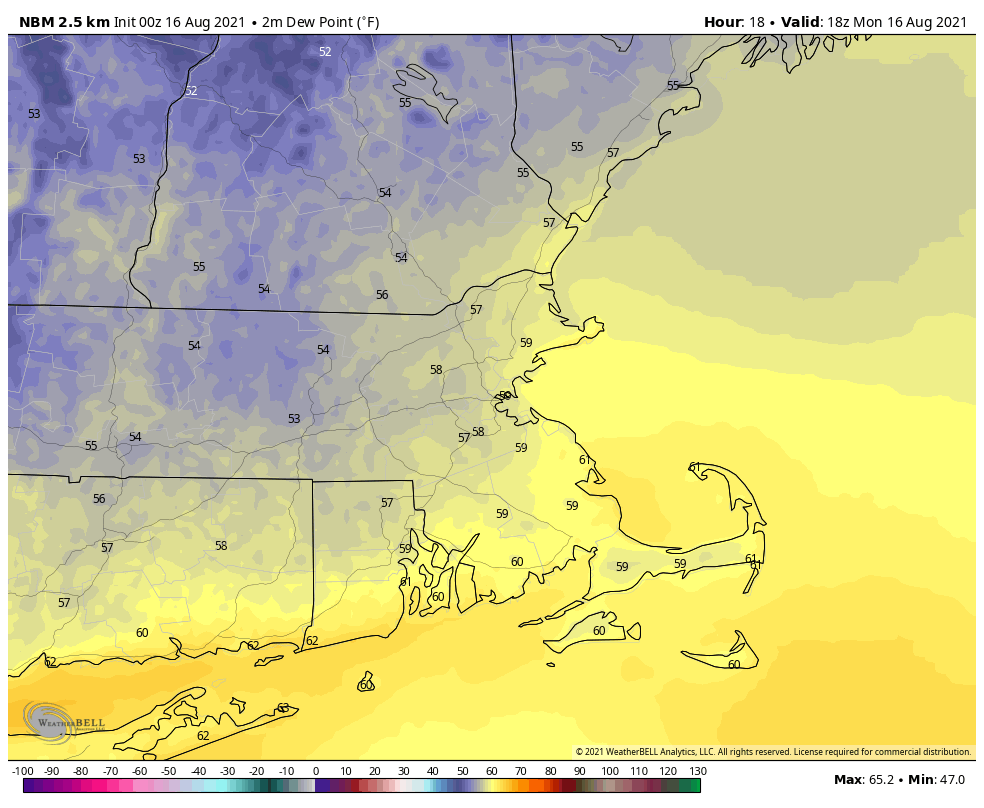
After the heat and humidity of last week, much more comfortable air settled in late Saturday, and it will remain in place Tuesday thanks to a large high pressure area. However, as that high slides offshore later on Tuesday southwest winds will start to send humidity levels rising again, but that’s just a taste of what is coming.
Much of the remainder of the week looks warm (but not hot) and quite humid, but also unsettled. High pressure will remain anchored offshore, pumping the humid air into the region. Although it will be warm, it won’t be hot, because we’ll actually have plenty of cloudcover at times, along with a daily chance for showers and thunderstorms. Eventually some of the moisture from Fred (more on the tropics down below) should get in here, enhancing the rainfall. We’re not quite going back to our record-breaking wet pattern from July, but some parts of the region could pick up a decent amount of rain during the latter half of the week. The day with the most uncertainty is Sunday, which could end up drier and cooler if a cold front drops southward across the region.

As for the tropics, there are now three systems in the Atlantic that we’re watching. Tropical Storm Fred is expected to make landfall in the Florida Panhandle late tonight or early Tuesday as a strong tropical storm, though it wouldn’t be a surprise if it somehow became a hurricane before landfall. It should rapidly weaken once inland. Tropical Depression Grace is expected to remain weak as it passes close to or over Hispaniola and Cuba over the next few days, assuming it even survives the trip. If it does, it could start to strengthen as it gets into the Gulf of Mexico later this week. Finally, we have Tropical Depression Eight, which formed near Bermuda late Sunday night. It will bring some squally conditions to Bermuda over the next day or two, and should gradually strengthen, but right now, doesn’t look like it’ll impact any other land areas. We’ll have a much more detailed look at the tropics later today in another blog post.

Monday: Sunshine and some high clouds. High 75-82.
Monday night: Partly cloudy. Low 57-64.
Tuesday: Partly sunny. High 78-85.
Tuesday night: Partly to mostly cloudy. Low 64-71.
Wednesday: Plenty of clouds with a few showers or thunderstorms possible. High 77-84.
Thursday: Mostly cloudy with scattered showers and thunderstorms. High 77-84.
Friday: Clouds and some sunny breaks with more showers and thunderstorms possible. High 76-83.
Saturday: Intervals of clouds and sunshine, with a few showers or thunderstorms around. High 78-85.
Sunday: Partly sunny, chance for more showers and thunderstorms. High 76-83.
Finally, we’ll leave you with this thought. In Montana, temperatures are likely going to top 100 across central and eastern parts of the state today, and again tomorrow. Then a strong cold front is going cross the region later Tuesday and Wednesday. Behind that front, temperatures will be 40-50 degrees cooler than the day before. Oh, but the temperature drop isn’t the only concern. Take Helena, MT for example. The GFS has a forecast high of 96 in Helena today. Tomorrow night, that same model is forecasting a low of 34, accompanied by 5″ of snow.
