We’ve got a typical summertime pattern shaping up for the final week of astronomical spring. Astronomical Summer begins with the Summer Solstice on Sunday June 20, at 11:31pm.

The week will actually start off on a damp note as a cold front approaches the region. This will produce scattered showers and thunderstorms, some of which could produce locally heavy rainfall. The entire day shouldn’t be a washout, as these will be more of the hit-and-miss variety, especially late in the day and tonight. Another round of showers and thunderstorms is expected on Tuesday as the front finally moves through the region. Again, some of these could be heavy in spots.

High pressure builds in for Wednesday and Thursday with drier and seasonably warm conditions. An upper-level low pressure area will be in place across the Northeast, helping generate some clouds each day, with a slight chance for a pop-up shower each afternoon, but these will be few and far between. By Friday, that high will slide offshore, allowing warmer and more humid air to start to move back into the area. That warm and humid airmass will be in place on Saturday when another cold front approaches, triggering another round of showers and thunderstorms. High pressure returns next Sunday with drier air.
Monday: Plenty of clouds with a few showers and thunderstorms, especially early and again late in the day. High 66-73.
Monday night: Mostly cloudy with more showers around. Low 56-63.
Tuesday: Intervals of clouds and sunshine with occasional showers and thunderstorms. High 72-79.
Tuesday night: Becoming clear to partly cloudy. Low 54-61.
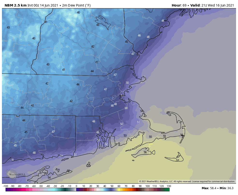
Wednesday: Sunshine and some afternoon clouds. High 71-78.
Thursday: Partly to mostly sunny. High 71-78.
Friday: Sunshine fades behind increasing afternoon clouds. High 75-82.
Saturday: Intervals of clouds and sun with scattered showers and thunderstorms. High 78-85.
Sunday: A mix of sun and clouds. High 76-83.

Finally, we’re going to mention the tropics. There are two areas that the National Hurricane Center is keeping an eye on in the Atlantic right now. The first one is in the Bay of Campeche. This system will bring heavy rain to parts of Mexico and Central America for the next few days. After that, it should start to drift northward and could get organized. Several forecast models have been showing this potential for a while now. While it’s still too early to tell if anything will actually develop, most of the models are showing a weak system tracking toward either Texas or Louisiana. The more concerning part is that most of the models show the potential for very heavy rain later this week and this weekend, especially in Louisiana. It’s been a VERY wet spring across this area, and additional heavy rain will result in significant flooding. Parts of Louisiana have received 30 to 40 or more inches of rain over the past 90 days, and some models are showing the potential for another 5-10 inches or more next weekend.

The other area being watched is a cluster of thunderstorms off the Carolina coastline. It’s disorganized and non-tropical right now, but will be moving over the warm waters of the Gulf Stream today and tomorrow. Given NHC’s recent history, we fully expect it to be named a short-lived Tropical Depression or Storm (even though it won’t actually be one) before it moves over colder water east of New England and south of Nova Scotia on Wednesday.
