This week is going to be messy with not one but two different storms that will produce a variety of precipitation across the region.
We start off the week with plenty of clouds and some light snow and/or freezing drizzle this afternoon as a weak system passes well south of the region. However, another storm system will be moving out of the Tennessee Valley and heading our way. This is the same storm that wreaked havoc on Texas and the Southern Plains over the weekend. At one point over the weekend, all 254 counties in Texas were under a Winter Storm Warning. We’re not sure if that has ever happened before, but it’s certainly a rare event. That storm will head northeastward today, moving up the Appalachians. It will then redevelop south of Long Island tonight, and pass near or across southeastern Massachusetts Tuesday morning.

With the low passing to our south, cold air will remain in place for much of the region, mainly north and west of Boston. As milder air moves in aloft, we’ll see snow change over to sleet and then freezing rain this evening and tonight. Before it changes over, we’re looking at an inch or less of snow for much of Massachusetts and Rhode Island, with an inch, possibly 2 inches across southern New Hampshire. Once you get north of Concord, NH, several inches are possible before the flip to sleet/freezing rain. An extended period of freezing rain is possible in parts of the area, especially from the Merrimack Valley into Southern New Hampshire. This will obviously result in hazardous driving conditions, but also will increase the threat of power outages due to downed trees and wires from the weight of the ice. From Boston southward, we’re looking at mostly rain, with temperatures above freezing. How far inland that above-freezing air gets is still a question mark, but right now, we’re thinking that areas north and west of Interstate-95 will likely stay below freezing the entire time. Most of the models try to bring the warmer air all the way into the Merrimack Valley or even Southern New Hampshire. However, the models also tend to overestimate how quickly the cold air will erode, especially when there is snow on the ground. Plus, they have significantly underestimated the magnitude of the cold air that moved in across Texas and the Southern Plains over the last few days. For these reasons, we’re going to stay a little colder than the models. Across Cape Cod and parts of southeastern Massachusetts, cold air won’t be an issue, and in fact, temperatures could get to 50 or even warmer for a while Tuesday morning if the storm passes across southeastern Massachusetts instead of just to the south.

Everything winds down by early afternoon, then skies clear out, with colder air returning for Tuesday night and Wednesday as high pressure builds in. From Boston southward, this means that everything will quickly ice back over Tuesday evening as temperatures drop below freezing. Keep this in mind if you’ll be out an about, as many untreated surfaces will become slick. Although Wednesday will feature sunshine, it will be quite chilly, with temperatures likely staying in the 20s to lower 30s, which is as much as 10 degrees below normal.

By Thursday, another system will approach the region, and this one also looks messy, but a little colder. This system will likely stay south of the region, but some milder air will move in aloft. So, once again, we’re looking at snow, changing to sleet and freezing rain, and possibly plain rain in some areas. The airmass ahead of this system will be a little colder than the one we have in place today, so we could be looking at more snow before the changeover, especially from the Merrimack Valley northward. However, this one could also feature a period of freezing rain across the interior. Details like this are nearly impossible to pin down 4-5 days in advance, so we’ll get into more detail towards midweek as things become clearer.

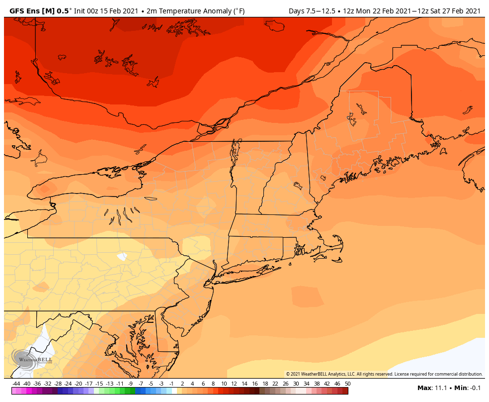
High pressure returns next weekend with drier and colder conditions once again. There are some signs that the colder weather we’ve been dealing with for much of the month could start to retreat in Canada next week, but that’s a long ways away, and things can still change.
Monday: Cloudy with some light snow or snow showers, possibly mixed with a little sleet or drizzle, especially along the coast. High 27-34.
Monday night: Light snow during the evening, mainly from the Merrimack Valley into Southern New Hampshire, eventually changing to sleet and freezing rain, except precipitation falls mainly as rain south and east of Interstate 95. Low 25-32 during the evening, then temperatures may rise a few degrees overnight.
Tuesday: Freezing rain across the interior and rain in the coastal plain ending by early afternoon. High 30-37 north and west of Interstate 95, 38-45 south and east of I-95, potentially as warm as 45-55 across parts of southern Rhode Island, southeastern Massachusetts, and Cape Cod during the morning.
Tuesday night: Clearing, breezy. Low 14-21.
Wednesday: Sunshine and some late-day clouds. High 25-32.
Thursday: Cloudy, light snow is possible late in the day, possibly changing to sleet and freezing rain at night. High 26-33.
Friday: Snow, sleet, freezing rain, and rain ending in the morning, breezy. High 33-40.
Saturday: Intervals of clouds and sun, breezy, a few flurries are possible. High 25-32.
Sunday: Partly to mostly sunny. High 27-34.
