Fall is officially here, but it certainly won’t feel like it through most of the weekend.
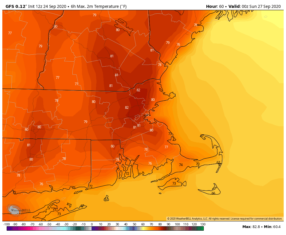
High pressure keeps us dry through Sunday. Unlike the last several days, we will be much warmer, thanks to west to southwest winds. In fact, by Sunday, it may even feel humid once again. It’s not going to be the Dog Days of summer, but highs in the upper 70s to lower 80s and dewpoints in the middle 60s aren’t too typical of the final weekend of September.
While it’s looking dry, it probably won’t be completely sunny through the weekend. What’s left of Tropical Storm Beta will be passing to our south Saturday. It may spread some clouds into the region, but for now, it looks like most of the rain will stay south of us, though a few of the models do try to sneak some showers in on Saturday. Since it’s been very dry lately, and we’re still in a drought, we’re going to follow the old forecaster’s adage “When in drought, leave it out.”

By Sunday night, things start to change. A large upper-level trough of low pressure will settle into the Great Lakes. At the surface, a cold front will move toward the region. Some showers are likely ahead of this front Sunday night into Monday. This isn’t a drought-busting rain by any means, but every little bit helps. A cooler, more unsettled pattern may settle in for next week, but the details aren’t that clear yet. We’ll focus more on that in our Weekly Outlook early Monday morning.
Thursday night: Partly cloudy. Low 52-59.
Friday: Sunshine and a few clouds. High 74-81.
Friday night: Clear skies. Low 53-60.
Saturday: Partly to mostly sunny. High 75-82.
Saturday night: Partly cloudy. Low 57-64.
Sunday: Partly sunny, breezy, and warm. High 76-83.
Sunday night: Mostly cloudy with showers developing. Low 60-67.
Monday: Plenty of clouds with scattered showers likely, breezy. High 72-79.
