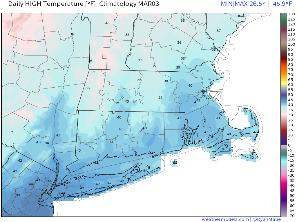
We’re into March which means that Spring has arrived (meteorological spring). It’ll even feel like Spring for a good portion of the week too.
We start the week off with a fantastic day, probably the pick of the week. High pressure slides offshore and a warm front moves through, so we’ll have sunshine after some morning clouds and temperatures possibly getting into the 50s in many areas. A cold front spreads clouds back in late in the day, with some showers possible at night.
Tuesday looks to be another mild day with temperatures well into the 50s, maybe even 60 in spots. A weak system will approach the region during the day, so we’ll have plenty of clouds and some sunny breaks, but some rain is expected to move in during the evening and at night. The rain shouldn’t be that heavy, and it should end by daybreak. Behind the system, breezy and somewhat cooler conditions settle in for Wednesday as high pressure starts to build in, but temperatures should remain above normal. Thursday remains dry and mild with high pressure in control.

Friday is where things start to get interesting. Low pressure will be moving across the Great Lakes while a second low pressure area moves off the Southeast coastline. One or both of these systems could impact us, but that’s where the uncertainty lies. You may hear some of the TV meteorologists talking about the systems “phasing”. What that means is when you get the two branches of the jet stream (northern and southern) to join together or “phase”. When this happens, you usually get the disturbances moving through each jet stream to join together and create a big storm system. When that occurs with cold air in place, we get big snowstorms. When they don’t phase, we just get your average run-of-the-mill storm system moving through. That’s what we’re looking for with the potential on Friday/Saturday. Some of the models have been hinting at this possibility, but some don’t show the phasing until well offshore, which is great for snow-lovers in Nova Scotia, but not most of New England. Given how this winter has gone, we’re leaning away from the idea of a snowstorm, but it’s obviously possible. At the very least, we’ll likely have some snow or rain from the northern system as it moves through. We’ll keep an eye on this for the next few days, and if necessary, have a special blog later in the week.

High pressure builds in behind the system with colder and drier conditions, but they’ll likely be short-lived, with another warmup to start next week.
Monday: Morning clouds, then becoming partly to mostly sunny and breezy. High 45-52.
Monday night: Clouds return along with a few showers. Low 36-43.
Tuesday: Intervals of clouds and sunshine, showers develop late in the day. High 52-59.
Tuesday night: Cloudy and breezy with some light rain likely. Low 36-43.
Wednesday: Becoming partly sunny and breezy. High 46-53.
Thursday: Sunshine and lots of it. High 44-51.
Friday: Cloudy with rain or snow possible late in the day and at night. High 41-48.
Saturday: Rain or snow ending in the morning, some late-day sunshine is possible, breezy. High 32-39.
Sunday: Partly to mostly sunny. High 41-48.
