The active pattern we’ve been in a for a few weeks has left, and now we’re in a much less active one, and it will actually feel like February.
A weak cold front crosses the region this morning, but you’ll barely notice it. We’ll still have sunshine and mild temperatures. That won’t last long though, as low pressure will move from the Great Lakes today into the St. Lawrence Valley on Tuesday. This will result in some rain around here on Tuesday. However, it will still be on the chilly side when the precipitation moves in by early afternoon (it is February after all), so we’ll likely see some snow to start, mainly from the Merrimack Valley into southern New Hampshire. We’re not expecting much accumulation, mainly an inch or so, maybe 2 inches in parts of central New Hampshire, before a change to rain occurs during the afternoon. The rain ends during the evening, as the storm pulls away, then skies start to clear out late at night.

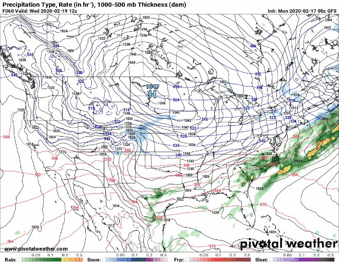
After that, the forecast for the rest of the week is very easy. High pressure builds in for Wednesday with sunshine and cooler conditions. Thursday and Friday will be even colder with sunshine, then temperatures start to moderate over the weekend with conditions remaining dry.
Monday: Partly to mostly sunny. High 36-43.
Monday night: Clear skies during the evening, then clouds move in overnight. Low 19-26.
Tuesday: Snow and rain developing around midday, changing to all rain, during the afternoon. High 34-41 north of the Mass Pike, 42-49 south of the Pike.
Tuesday night: Rain ending by midnight, then skies start to clear out late at night. Low 28-35.
Wednesday: Becoming partly to mostly sunny and breezy. High 35-42.
Thursday: Sunshine and a few clouds, breezy, and turning colder. High 23-30.
Friday: Sunny and cold. High 25-32.
Saturday: A mix of sun and clouds, milder. High 38-45.
Sunday: Partly to mostly sunny. High 42-49.
