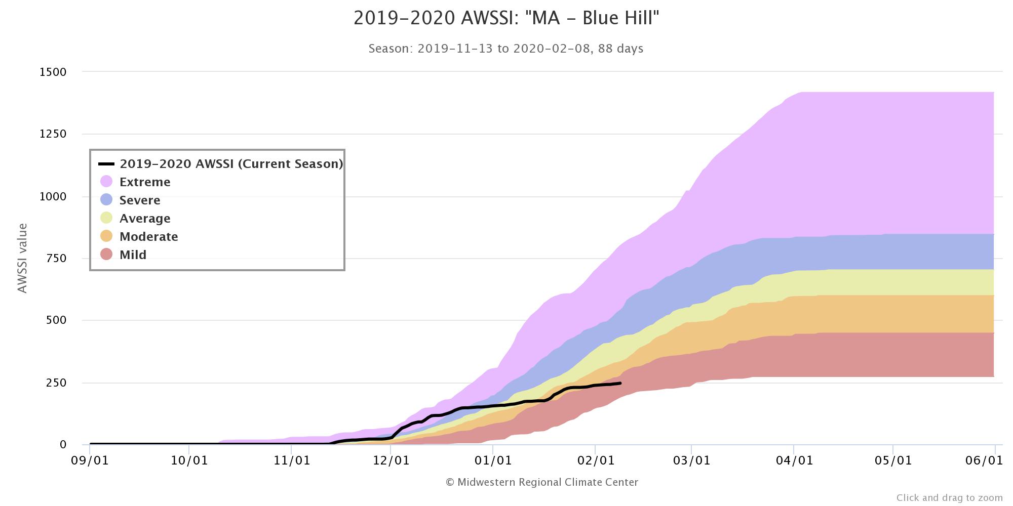
Our weather pattern will remain fairly active this week, but it will be more wet than white. Winter’s not over though, and Mother Nature will have a reminder of that late in the week.
We start the week off with some rain showers this morning, and a few wet snow flakes across southern New Hampshire. This rain won’t be too heavy and won’t last too long, as a cold front will drop southward by early afternoon, bringing the precipitation to an end. We may even see some clearing late in the day, especially north of the Mass Pike, as high pressure tries to build in to the north. This is somewhat important, as it will bring some colder air into the region. Why is it important? That cold front will lift back northward as a warm front late Monday night into Tuesday. With that colder air in place, we may see some snow or sleet develop before daybreak, mainly away from the coast, before the warmer air moves back in Tuesday morning, changing everything back to rain, ending late in the day. This time the rain will be a little heavier as the associated low pressure system will be a bit stronger, but overall, we’re still not looking at a big storm.

High pressure builds in for Wednesday with drier air, but it won’t last too long. We’ll still have a mild day (by February standards), but it’ll be a tad cooler than Monday or Tuesday. The next system moves in for Wednesday night and Thursday. Again, we’ll have some cold air in place to start, which likely means the precipitation starts as snow again. This time, we may even see some accumulations Thursday morning before a change to rain takes place. Again, we’re not expecting a big storm, but a few inches of snow could result in a messy Thursday morning commute, especially north and west of Boston.
High pressure builds in for Friday and Saturday with some much colder weather. Temperatures will actually be below normal, which hasn’t been a common occurrence this winter. As the high slides offshore, temperatures will moderate before yet another storm moves in, with some rain likely late Sunday and Sunday night.

Monday: Cloudy and breezy at times with showers ending from north to south during the afternoon. Some sunny breaks may develop in the afternoon, mainly north of the Mass Pike. High 38-45.
Monday night: Partly to mostly cloudy with showers redeveloping south of the Mass Pike, possibly starting as snow or a wintry mix across the interior. Low 28-35.
Tuesday: Cloudy with showers likely, ending late in the day. High 37-44.
Tuesday night: Becoming partly cloudy. Low 25-32.
Wednesday: Sunshine filtered through some afternoon high clouds. Cloudy at night with snow developing, changing to a wintry mix and then rain south of the Mass Pike by daybreak. High 36-43.
Thursday: Mostly cloudy with snow changing to a wintry mix and then rain during the morning from south to north, ending late in the day. High 38-45.
Friday: Sunshine and a few clouds, breezy, and much colder, slight chance for some snow showers across the Outer Cape. High 23-30.
Saturday: Sunshine fades behind increasing afternoon clouds. High 24-31.
Sunday: Cloudy and breezy with rain developing in the afternoon. High 36-43.
