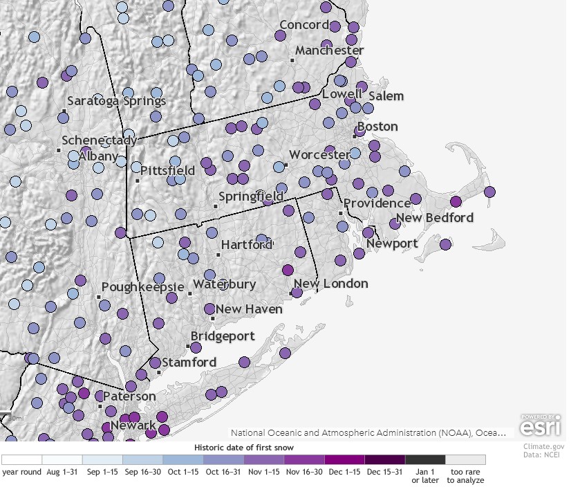
Uh-oh. It’s that time. You’ve been dreading it, but you knew it was coming eventually. We’re going to use a four-letter word that you hate. That’s right, the word is “snow”. It is November after all, and your luck will run out eventually.
We’ll start the week under the influence of high pressure, so another dry and cool day is expected today. A weak cold front moves through on Tuesday, producing some showers, but they shouldn’t be too heavy or last that long. Ahead of the front, it actually might be a bit mild around here. Don’t get too used to it, because high pressure returns for Wednesday with dry and cool weather once again. This brings us to the end of the week.
Another cold front will move through on Thursday, with some rain likely. The front will likely stall out, but where it stalls is still a big question mark. It’s an important one too, as a wave of low pressure will likely ride along the front. One model has the front stall out well to the south, with the wave staying well offshore. This would allow high pressure to build in, and result in a dry but very cold Friday, and into the weekend. Other models have the front stall just south of the region, and the wave pass a lot closer. This would likely result widespread precipitation across the region, with at least some of it falling as snow across the interior, possibly even to the coastline. High pressure would then build in behind the storm for a dry and very chilly weekend.

There’s still plenty of uncertainty with this storm, and at this point, we’re not sure which way to lean. On one hand, some of the models have been indicating for quite some time now the possibility of snow for parts of the area somewhere in the November 9-13 time frame. However, they’ve been changing with the details on nearly every run, so while our confidence has growing that we’d some “some” snow during that period, we really couldn’t go into deeper detail than that. At this point, we still can’t, because there is still little agreement with the models. However, should we end up dealing with a storm system, the closer you are to the coast, the less likely you’ll see accumulating snow. Ocean temperatures are still in the upper 40s to lower 50s, so a wind blowing off the ocean would bring milder air in along the coast. Plus, the ground is still relatively mild. Sure, we could see some snow even at the coastline, but the better chance for accumulating snow would be north and west of Boston. The farther inland, the better the odds. Obviously, we’ll keep an eye on the evolution of this system as the week goes on, and if needed, will write a special blog post later in the week.

Monday: Partly to mostly sunny. High 46-53.
Monday night: Partly cloudy. Low 38-45.
Tuesday: Some morning sunshine, then becoming cloudy with a few showers likely during the afternoon. High 54-61.
Tuesday night: Any lingering showers end during the evening, then skies become mostly clear. Low 32-39.
Wednesday: Plenty of sunshine. High 44-51.
Thursday: Some early sun, then becoming cloudy with showers developing late in the day. Showers may change to snow overnight, especially north and west of Boston. High 47-54.
Friday: Cloudy and breezy with a chance of snow north and west of Boston in the morning, chance of rain possibly mixed with wet snow from Boston southward. Skies will clear out late in the day. High 34-41.
Saturday: Mostly sunny. High 32-39.
Sunday: A mix of sun and clouds, breezy. High 41-48.
One final note – several models show the potential for another system towards the middle of next week that may also contain the “s” word. Welcome to winter!
