Sunday is the last day of June, which means 2019 will be half over. It seems like just yesterday when we were complaining about snow and ice. Don’t worry, those days will be back again soon enough. For now, you can complain about humidity, or rain, both of which will be featured in this week’s forecast.
We start the week off with a nice day on Monday, thanks to high pressure in control. Sunshine, low humidity and mild temperatures are expected, but temperatures will drop quite a bit in the afternoon, first along the coast, the eventually inland. This will be mainly due to a seabreeze, but it almost appears to be a backdoor cold front.

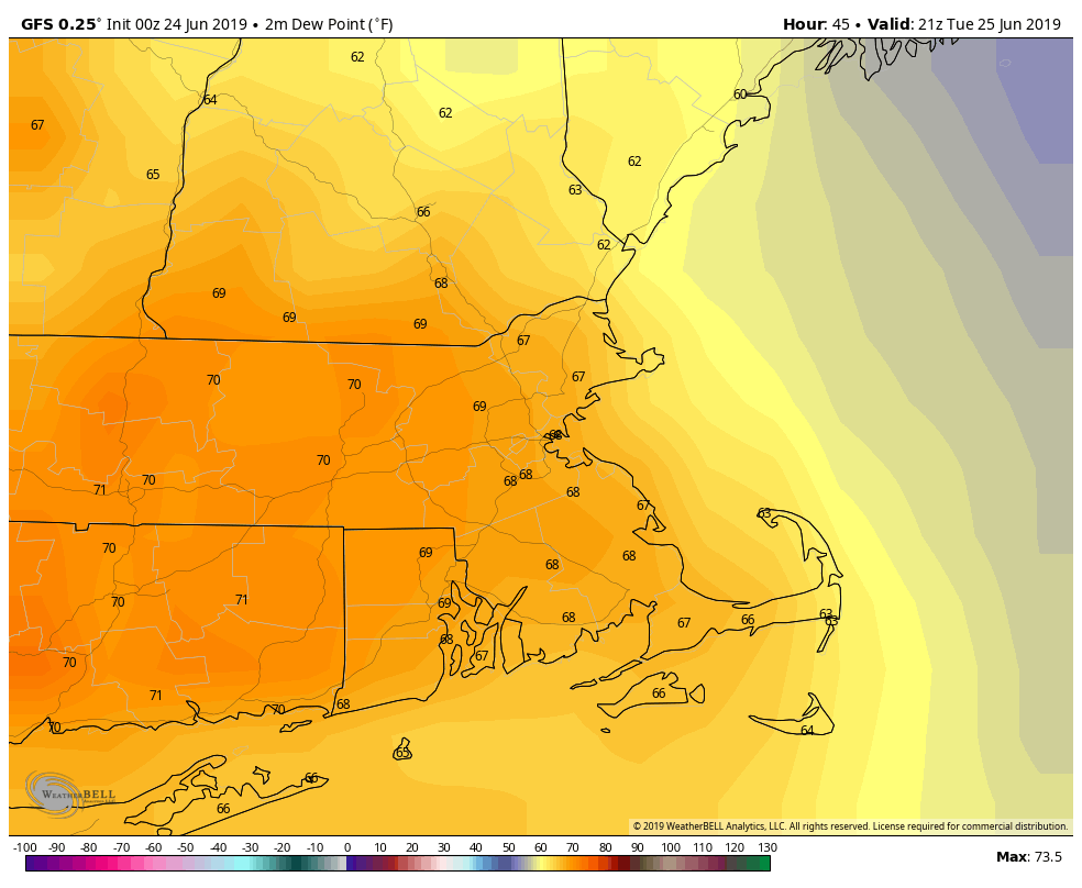
As we head into Tuesday, low pressure moving across southeastern Canada will send a warm front towards the region. Some showers and a few thunderstorms are likely as the warm and humid air starts to move into the area. That same system will send a cold front towards us later in the day, but it looks like that front will wash out before it ever gets here. With that cold front dissipating, we’ll be in the warm and humid air for Wednesday, Thursday, and Friday. As is typical when we get this type of airmass in the summer, don’t be surprised if we get some pop-up showers and thunderstorms each day, but also a seabreeze along the coast.

By Saturday, a stronger cold front will drop down from Canada, producing more widespread showers and thunderstorms, but also ushering cooler air back into the region. An upper-level low pressure area will settle in for Sunday, which likely means clouds, showers, and cool weather once again. Hope you enjoyed this past weekend, since the upcoming one isn’t looking that great right now.
And finally, we’ll take a really long look ahead at the weather for the Fourth of July, since it’s about a week and a half away. Now, the models aren’t terribly accurate that far out, so take this with a big grain of salt, but right now, it looks warm (80s), somewhat humid (dewpoints in the 60s), and partly sunny, with some showers and thunderstorms possible. Obviously, we’ll have a much better idea of the forecast in next week’s outlook, but we figured we’d give you a head’s up in case you’re already planning some outdoor activities for that day.
Monday: Sunshine and a few clouds around. High 77-84, then temperatures drop during the afternoon from east to west.
Monday night: Becoming partly to mostly cloudy. Low 54-61.
Tuesday: Mostly cloudy, breezy, and cooler, with showers and a few thunderstorms likely. High 67-74, possibly cooler across the North Shore and New Hampshire Seacoast.
Tuesday night: Showers end in the evening, then becoming partly cloudy, though low clouds and fog could linger, especially from the North Shore and the Merrimack Valley into southern New Hampshire. Low 56-63.
Wednesday: A mix of sun and clouds, chance for an afternoon or evening shower or thunderstorm. High 77-84, cooler right along the coast.
Thursday: Partly to mostly sunny, chance for an afternoon shower or thunderstorm. High 81-88, coolest along the coast.
Friday: Sunshine and some afternoon clouds, chance for some late-day showers and thunderstorms. High 82-89, coolest along the coast.
Saturday: Partly to mostly cloudy and breezy with scattered showers and thunderstorms during the afternoon and evening. High 78-85, but temperatures likely drop during the afternoon.
Sunday: More clouds than sun with more showers likely. High 72-79.