As promised, the second storm in our one-two punch is heading this way. While most of the snow is expected while you’re asleep Sunday night, it could have a big impact on your Monday morning commute.
High pressure is hanging on this morning, providing us with sunshine, but clouds will quickly move in this afternoon as low pressure starts to move towards the Mid-Atlantic coastline, passing south of New England Monday morning. This storm will be a bit stronger than the one we had yesterday, and also have a little more moisture to work with, but will be moving fairly quickly, limiting the amount of time it spends in the region. One thing working in its favor is that most of the snow will fall at night. We’re at the time of year where the sun angle is high enough that snowfall during the daytime has a hard time sticking on pavement. At night, that’s not an issue.
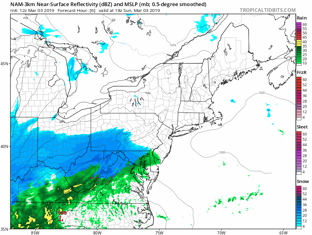
Snow will move in this evening, likely in the 7-10pm time frame, and will continue through the overnight hours. It may be heavy at times, especially between about 1 and 5am. A change to rain is expected for Cape Cod and the South Coast, but likely won’t advance past Route 44. Everything should wind down and end around 6-8am. That’s also the time of the morning commute. Road crews should have plenty of time to work on getting the roads cleared, but given past experience, and that people will likely leave early since it’ll still be snowing, we expect many roads to still be in awful shape. Give your self a lot of extra time in the morning. We also expect many school districts to cancel classes for Monday.

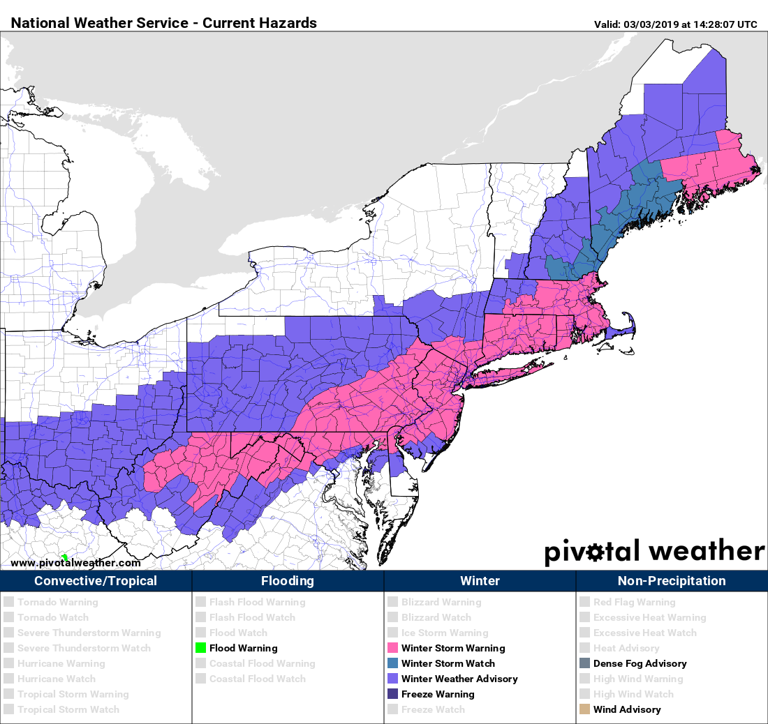
It’s been a down year for snowfall, running 10-20 inches below normal across the area, but this storm will put a dent in those departure numbers. How much are we looking at?
Cape Cod/South Coast/Southern RI: 2-5″
The rest of the region: 4-8″ with isolated 10″ totals possible, especially from northern RI into the South Shore.

Things look to quiet down and get colder behind this storm, but a pattern change to milder weather could be coming as we head towards mid-March. We’ll have more details on at least the next week in our Weekly Outlook early Monday morning.
