You’re waking up to snow this morning, but that might not be the only snow for the week, at least for most of us. It is still February, so this should be expected.
The week is starting off with some snow, but since we discussed that in detail yesterday, and the bulk of the snow will be over by the time most of you read this, we won’t dwell on it much longer. Snow showers will continue into the afternoon, but little additional accumulation is expected. High pressure then builds in for tonight, Tuesday and part of Wednesday. This will give us drier but colder conditions. Again, it is February, this should be expected.

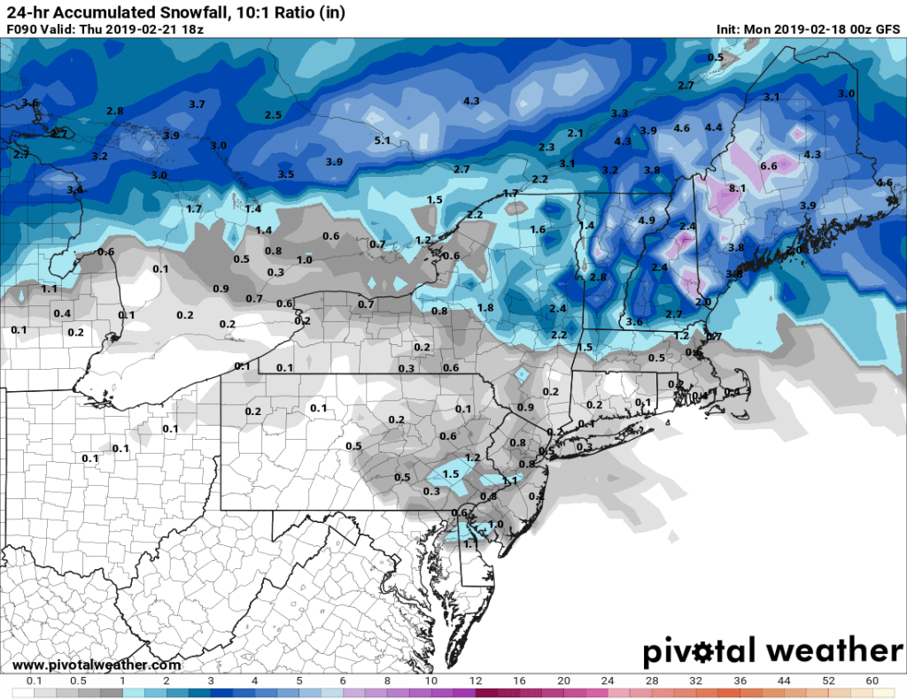
By late Wednesday, another low pressure system will head towards the Great Lakes, just like a lot of them have already done so far this winter. As a result, we’ll see the same thing we have already seen plenty of times. Snow will develop Wednesday night, then warmer air will move in aloft, with a change to sleet and/or freezing rain early Thursday, and an eventual change to all rain as warmer air finally moves in at the surface. This doesn’t look like a big deal, with an inch or two of accumulation possible Wednesday night from the Merrimack Valley into southern New Hampshire.
The rain ends Thursday morning, then high pressure returns for later Thursday into Friday and Saturday. Then on Sunday, we do it all over again. Low pressure heads towards the Great Lakes again, and we get some snow, changing to sleet and/or freezing rain, then plain rain. Wash, rinse, repeat.
Monday: Cloudy with occasional snow showers tapering off and ending. High 27-34.
Monday night: Clearing. Low 9-16.
Tuesday: Partly to mostly sunny. High 24-31.
Tuesday night: Becoming partly to mostly cloudy. Low 9-16.
Wednesday: Cloudy with snow developing in the evening, changing to sleet, freezing rain, and rain from south to north overnight. High 25-32.
Thursday: Rain ending in the morning, then becoming partly sunny and breezy in the afternoon. High 42-49.
Friday: Intervals of clouds and sunshine. High 36-43.
Saturday: Some early sun, then becoming mostly cloudy. High 37-44.
Sunday: Cloudy, snow developing, quickly changing to sleet or freezing rain, then plain rain in the afternoon. High 40-47.
