You’ve been dreading this day for months. Snow is in the forecast. Winter has arrived, and there’s not much you can do about it.

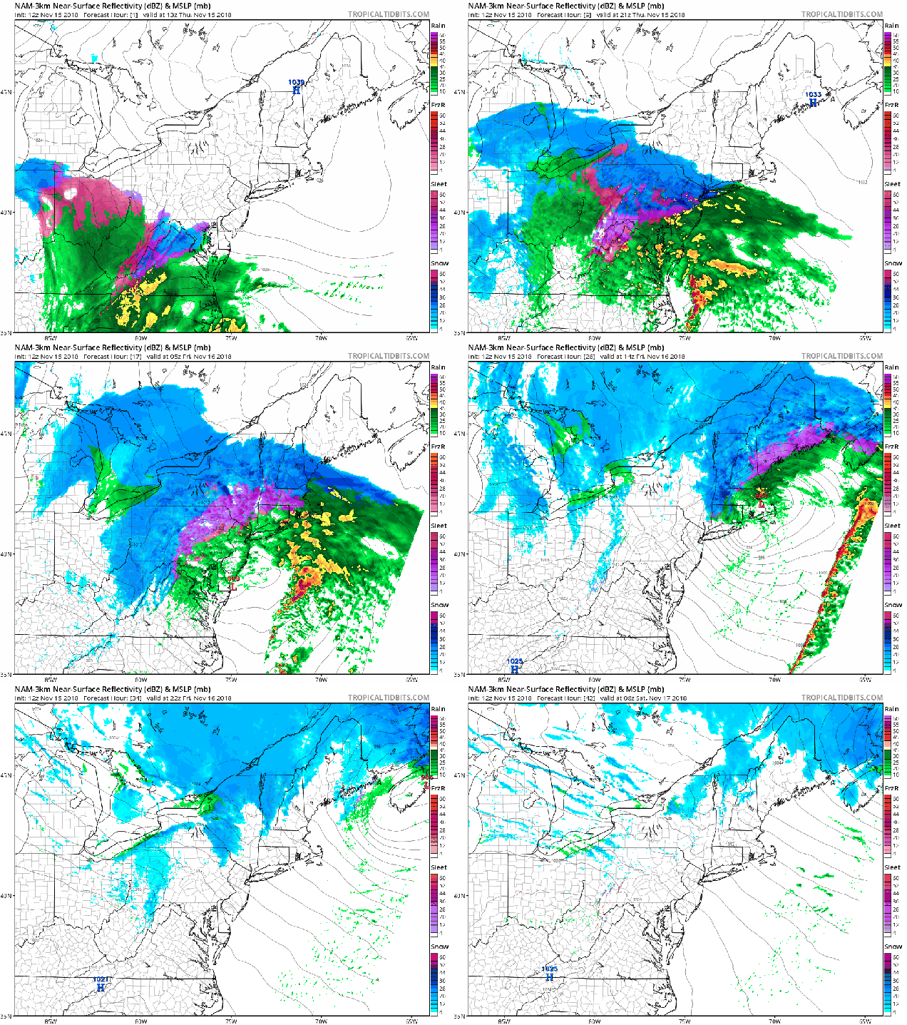
High pressure is moving out of the region at midday after providing us with a chilly morning. Low pressure is starting to move northward from the Carolinas, and the clouds have already streamed in ahead of it. With that cold air still in place, as the moisture from the storm moves in, we’ll have snow developing late this afternoon and this evening across the area. Right along the coast, the precipitation may start off as rain, as water temperatures are still relatively warm.
As winds become easterly across the region, that warmer air will gradually push farther inland both at the surface and aloft. As a result, we’ll see the snow change to sleet, freezing rain, and eventually rain from south to north overnight. How quickly that warmer air moves in, especially aloft, will determine how much snow falls. More sleet and freezing rain would cut down on snow amounts, but also created some more hazardous driving conditions overnight, especially north and west of Boston.
By morning, we should be all rain for much of the region, though from central New Hampshire northward, it will still be fairly wintry. The rain may be heavy at times through the morning, which will probably wash away most of the snow that falls this evening. So, you probably won’t need the shovels or the snow brushes when you head out to work or school in the morning. Everything winds down around midday, then gusty northwest winds behind the storm help clear things out late in the day.
So, how much can we expect? Here’s our current thinking:
MA/RI coast/Cape Cod: Less than 1″
Interior E Mass/RI: 1-2″
Merrimack Valley/NH Seacoast: 2-4″
Interior Southern NH (Manchester/Concord): 2-5″
Central NH: 4-7″

Another weak system will come through late Sunday night into Monday morning. This will produce some snow or rain showers, but won’t be a big deal at all. Winter’s here, so you’d better get used to it.