Well, now that it is actually feeling like November outside, we’ve got a more sobering thought for you. Christmas is six weeks from today. Six weeks. You know what that means, right? Yup, we’ll be talking about that dreaded “s-word” soon. It doesn’t look like we’ll worry about it for most of this week, but rest assured, it’s coming.
As for this week, the week will start off with, to quote a friend of the blog, “not exactly a chamber of commerce day.” A weak system passes offshore today, close enough to spread some showers in, mainly from Boston southward, during the afternoon. We suppose there could be a few wet flakes mixed in, but generally, just some light rain is expected. High pressure builds in after that with dry and cool conditions for Tuesday and Wednesday. Temperatures will start to moderate on Thursday ahead of a storm system. However, with the milder conditions will come some more rainfall. The rain ends during the afternoon as a cold front moves through. This sets up another dry and but cold day on Friday.
Next weekend is where things get interesting. Another storm system will move into the Great Lakes and eventually into southeastern Canada. This will give us some precipitation Saturday into early Sunday. The precipitation may not be entirely plain rain. Remember, we’re going to have a very cold airmass in place on Friday. Warmer air will certainly move in aloft, but as it typically the case in the fall/winter, it may struggle to move in at the surface, especially inland. So, what does that mean? For the coastal plain, we’re looking at just rain. For places farther inland, especially north and west of 495, it wouldn’t be a surprise to see the precipitation start as some wet snow, before a changeover to rain, possibly with a period of sleet or freezing rain in between. This is all assuming that the precipitation moves in during the morning. If it holds off until afternoon, then the chance for wintry precipitation diminishes considerably. All in all, this doesn’t look like a big deal, but since it could be the first potential wintry event of the season, we certainly need to keep our eyes on it. The other big question is the temperatures. How warm will we get on Saturday? Across inland areas, depending on which model you believe, we could stay in the upper 30s to middle 40s, or we could soar well into the 50s. Right now, based on what we’ve seen in the past, we’re going to lean towards the cooler scenario inland, but obviously that could change. No matter what happens, a cold front pushes through early Sunday, with clearing and colder conditions expected once again.

Monday: Cloudy with scattered showers developing, mainly along the coast and south of Boston. High 38-45, except 46-53 across southeastern Mass and Cape Cod.
Monday night: Showers taper off, but some drizzle and/or a few flurries may persist. Low 32-39.
Tuesday: Intervals of clouds and sunshine. High 39-46.
Tuesday night: Becoming mostly clear. Low 27-34.
Wednesday: Sunshine, dimmed by some high clouds during the afternoon. High 43-50.
Thursday: Showers likely in the morning, clearing and becoming breezy late in the day. High 49-56.
Friday: Mostly sunny. Clouds start to filter in during the afternoon. High 40-47.
Saturday: Rain likely, possibly starting as a wintry mix well inland. Becoming breezy, especially across Cape Cod. High 41-48 north and west of I-495, 49-56 south and east.
Sunday: Becoming partly to mostly sunny. High 39-46.
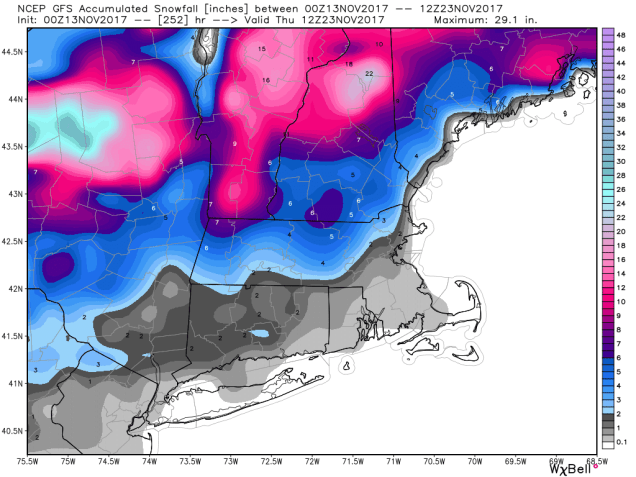
Of course, next week is Thanksgiving, and everyone wants to know what the weather will be live for the drive to see family. At least one model (the GFS) has a storm come through on Wednesday, with some snow, especially north and west of Boston. Other models have drier conditions. We’ll go into that forecast in more detail in next week’s outlook.