In a lot of ways, this week will be very similar to last week. That shouldn’t be a big surprise, we’ve been stuck in the same weather pattern for nearly the entire summer.

Just like last week, we’ll start the week off with a cold front crossing the region early Monday. It may produce a few showers early this morning, but that’s about it. High pressure briefly builds in for Tuesday with drier conditions, then another cold front moves through on Wednesday. It may produce a few showers or thunderstorms late Wednesday. After that, high pressure builds in for the rest of the week and into the Labor Day Weekend with cooler and drier conditions. Dewpoints will likely be in the 40s again from Thursday into Saturday.
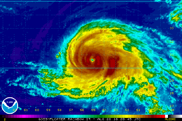
That large high pressure area building in will also be a “deflector shield” of sorts. There are currently three tropical systems in the Atlantic, and two of them, are not far from the US mainland. First we have Major Hurricane Gaston. Gaston has maximum sustained winds near 120 mph, making it a Category 3 Hurricane on the Saffir-Simpson Scale. Gaston is centered about 575 miles east of Bermuda tonight. Unless you’re in the middle of a Trans-Atlantic cruise, then you don’t have to worry about Gaston, as it will be heading out over the open Atlantic, no threat to any land areas. Gaston will start to send some rough seas our way though, so if you are planning on heading to the beach this week, be alert, as there will be a higher than now risk for riptides.
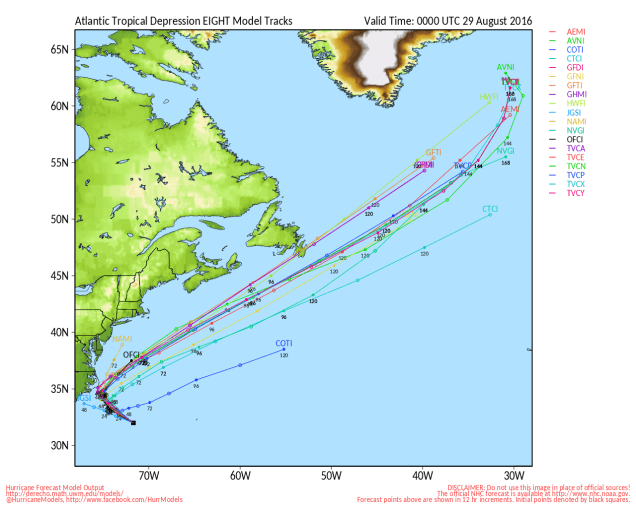
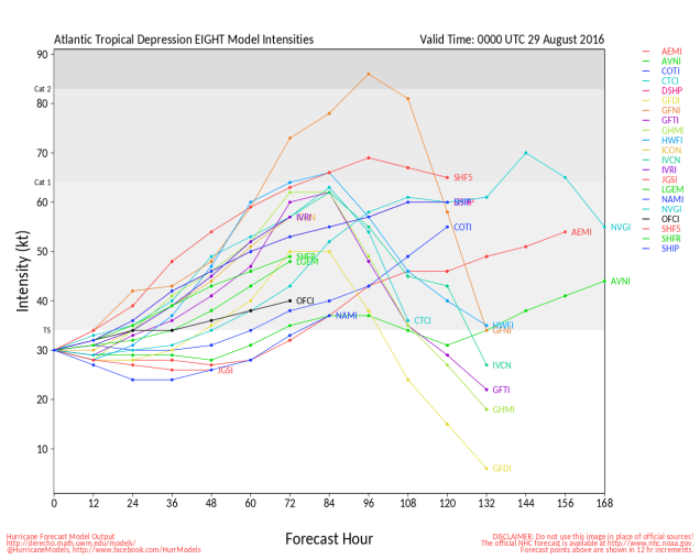
Closer to home, Tropical Depression Eight developed on Sunday. TD 8 has top winds near 35 mph, and is centered about 285 miles southeast of North Carolina. The forecast calls for TD 8 to strengthen into a tropical storm late Monday. Since it is expected to turn towards the northwest, a tropical storm watch has been issued for the Outer Banks of North Carolina from Cape Lookout to Oregon Inlet. After brushing the Outer Banks late Tuesday, it will turn more towards the north and northeast, merging with the cold front that will cross our region on Wednesday.
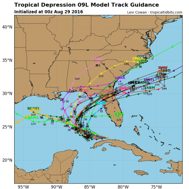
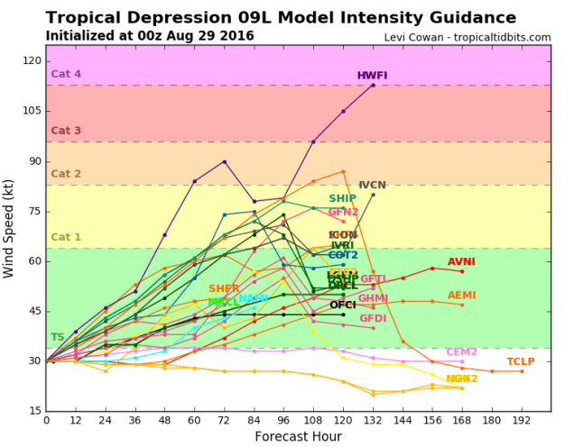
We also have Tropical Depression Nine, centered about 100 miles southwest of Key West, Florida and just off the north coast of Cuba tonight. This is the system that has been relentlessly hyped by many in the media and on the Internet (but not this site) for the past week plus as the next “Storm of the Century”. It finally developed a circulation center Sunday afternoon, and was deemed a tropical depression. If you believed many of the computer models and “Facebook Forecasters” earlier in the week, it was supposed to hit south Florida as a hurricane yesterday. Right now, it looks like the storm should turn more to the north while strengthening into a tropical storm over the next day or two. A track towards the Big Bend of Florida seems most likely at this point, but as this storm has shown already, it will do (or not do) what it wants to. Assuming it does track towards Florida, it should cross the Southeast, then emerge off the coast of Georgia or northeastern Florida. Once there, it will move over the warm waters of the Gulf Stream and could strengthen once again. However, with a big high pressure area to the north (we told you that we’d tie that in eventually), a track up the coast is unlikely. Instead, the system will likely head out into the open Atlantic.
So, here’s what we can expect around here right through and including Labor Day:
Monday: Chance for a few showers early, then becoming partly to mostly sunny. High 84-91.
Monday night: Clear skies. Low 56-63.
Tuesday: Partly to mostly sunny. High 78-85.
Tuesday night: Clear to partly cloudy. Low 60-67.
Wednesday: A mix of sun and clouds, chance for showers and thunderstorms during the late afternoon and evening hours.High 83-90.
Thursday: Partly sunny. High 75-82.
Friday: Intervals of sunshine and clouds.High 71-78.
Saturday: Sunshine and a few pop-up clouds.High 72-79.
Sunday: Mostly sunny. High 75-82.
Labor Day: Plenty of sunshine.High 77-84.
