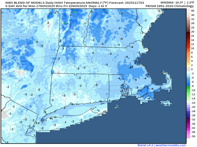
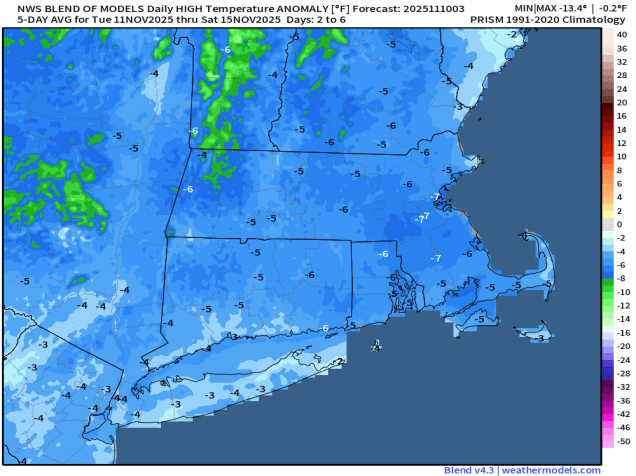
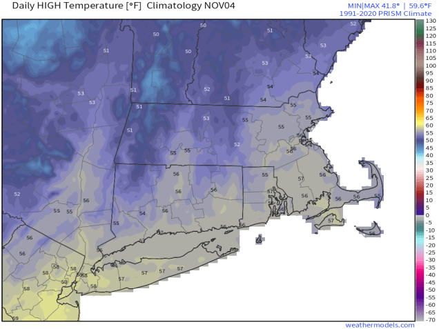
The weather pattern this week will be active, but not that impactful.
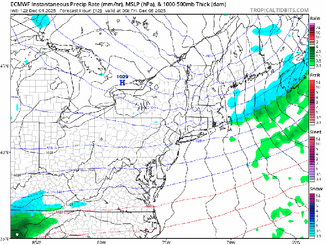
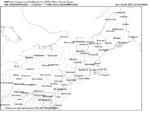
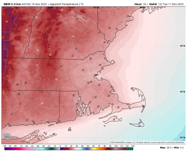
We start the week on a chilly note as an arctic cold front crossed the region early this morning. Skies will clear out behind it today, but breezy and chilly weather is expected. As winds die down this evening, skies will be mostly clear, setting up a very chilly night, with many places once again dipping into the single numbers Tuesday morning. The cold weather will be short-lived as low pressure sures toward southeastern Canada, sending a warm front our way. We’ll see clouds moving in during the day, with a few snow showers accompanying the warm front in the evening. Wednesday should be a milder day, with a few places making a run at 50 degrees. However, we’ll also have some precipitation, mostly in the form of rain showers, possibly starting as a little snow, especially well north and west of Boston. The cold front moves through late in the day, then we’ll see some clearing for Thursday with cooler weather returning, but with an upper-level low moving through we could see a few snow showers popping up. High pressure settles in for Friday with cool and dry conditions. Another quick moving system may bring in some snow showers Friday night and early Saturday, though some models keep the system off to our south, then high pressure returns with colder weather once again later Saturday into Sunday.

Monday: Partly to mostly sunny, breezy in the morning. High 21-28, a little milder across Cape Cod.
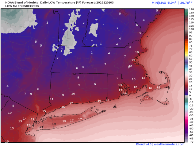
Monday night: Clear to partly cloudy. Low 5-12 inland, 13-20 in urban areas and along the coast.
Tuesday: Morning sunshine, then clouds stream in during the afternoon. High 26-33, a little milder across the South Coast and Cape Cod.
Tuesday night: Mostly cloudy, chance for some snow showers during the evening north of the Mass Pike, rain or snow showers south. Low 19-26 during the evening, a little milder across the South Coast and Cape Cod, temperatures rise overnight.
Wednesday: Plenty of clouds with showers likely, any snow will be confined to areas north of Concord, NH. High 39-46, a little milder across southeastern Massachusetts, southern Rhode Island, and Cape Cod.
Wednesday night: Showers ending, partial clearing late at night. Low 29-36.
Thursday: A mix of sun and clouds, breezy, chance for a snow shower. High 35-42.
Thursday night: Partly cloudy. Low 18-25.
Friday: Partly sunny, some snow showers possible at night. High 29-36.
Saturday: Snow showers end early, some late-day sunny breaks, breezy. High 29-36.
Sunday: A mix of sun and clouds, breezy. High 26-33.