Although today will be mild, much of this week will be cooler than we have been for a while.

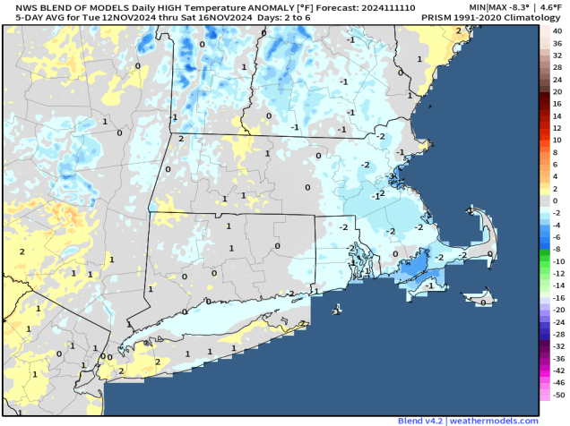
A warm front moved through overnight, setting us up for a mild day today, with some spots possibly making a run at 70 degrees. Any lingering showers will end this morning as a cold front moves through, with rapid clearing behind the front this afternoon. However, the airmass behind the front isn’t that cold, which is one reason why we’ll be some warm today. A second cold front moves through late tonight or early Tuesday with little moisture accompanying it. Behind it, gusty northwest winds will usher some cooler air in during the day. As high pressure moves right overhead on Wednesday we’ll have sunshine but temperatures will be quite cool, even below normal for mid-November. That high pressure area will settle into eastern Canada for the end of the week, keeping us dry and cool. A weak low pressure system moving out of the Great Lakes will spread some clouds in on Thursday, but it looks like that system will slide off to our south, so we’re not expecting any rainfall from it.
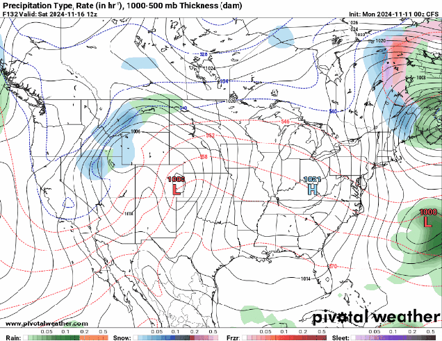
The end of the week and the weekend becomes a little more complicated, but the end result is that we should remain dry and seasonably cool. We’ll have an ocean storm moving into Atlantic Canada that is going to try and back in from the east, and a big high pressure centered to our west. The high should win out, keeping us dry and seasonably cool, but there may be clouds and a few showers at times, and possibly some gusty winds, especially near the coast, thanks to the ocean storm. We’ll keep a close eye on how this actually evolves later this week, and will update things in our Weekend Outlook on Thursday.
Monday: Showers ending early, then skies become mostly sunny in the afternoon, breezy. High 61-68.
Monday night: Clear to partly cloudy, becoming breezy again late at night. Low 40-47.
Tuesday: Sunshine and a few clouds, breezy, cooler. High 48-55.
Tuesday night: Partly cloudy across Cape Cod and the Islands, clear elsewhere. Low 25-32, a little milder across Cape Cod and the Islands.
Wednesday: Plenty of sunshine with a few clouds across Cape Cod and the Islands, chilly. High 41-48.
Thursday: Intervals of clouds and sun. High 41-48.
Friday: Partly sunny, clouds may become a little more prevalent late in the day with just a slight chance for a few showers, especially near the coast. High 46-53.
Saturday: A mix of sun and clouds, breezy. High 49-56.
Sunday: Partly sunny. High 52-59.