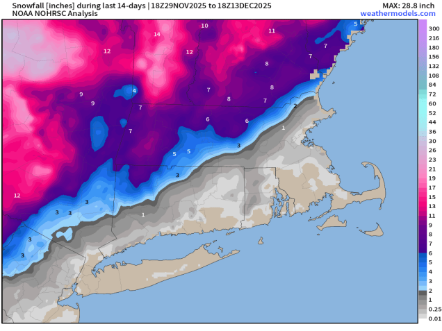
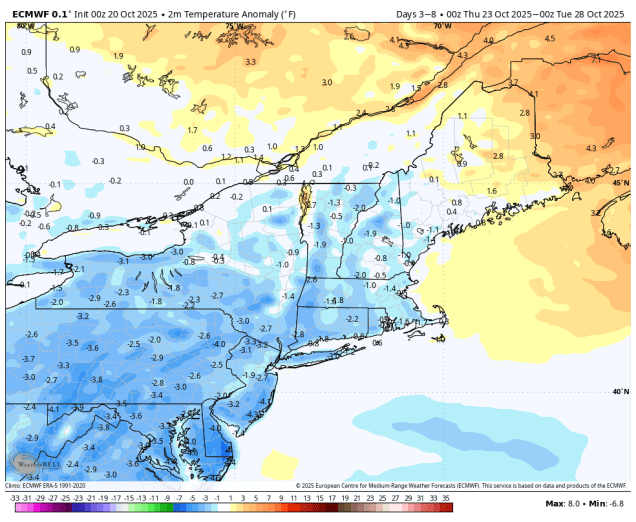
We’re in an active weather pattern, but that doesn’t mean it’s a snowy one.
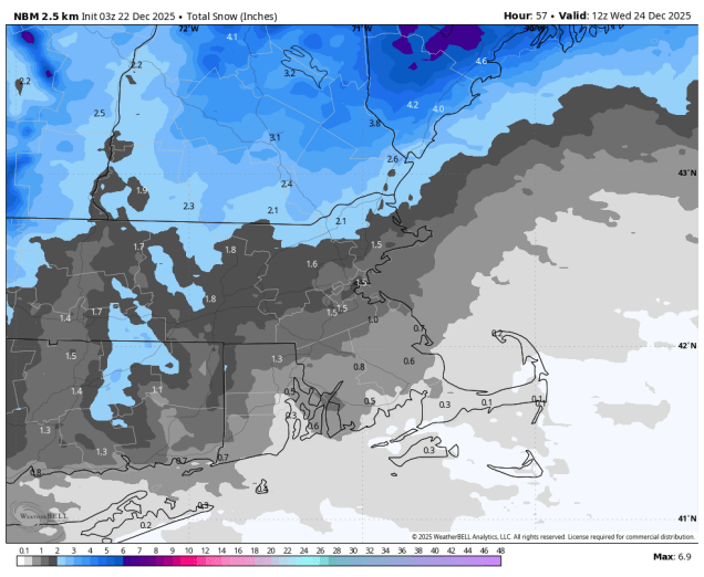
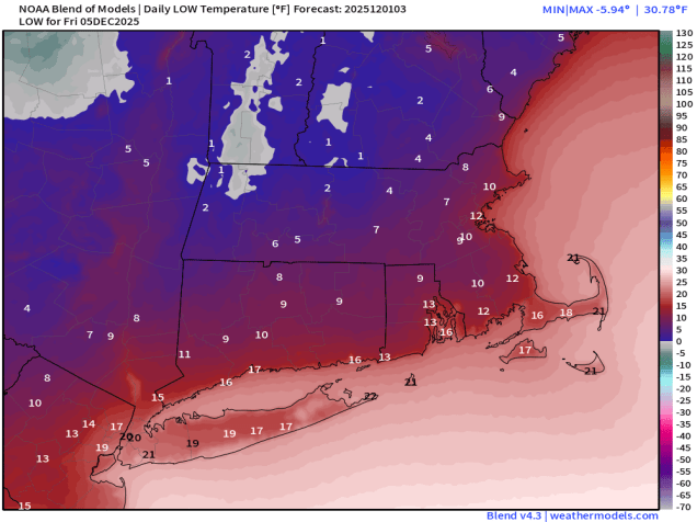
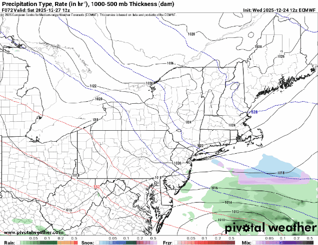
The storm that brought us the snow on Tuesday will continue to pull away tonight, taking any lingering snow showers along the coast with it, then skies should clear out for a while this evening, before clouds quickly return. A weak disturbance may produce a few snow showers Christmas morning, then we’ll start to clear out in the afternoon as a cold front drops southward across the region. Breezy and colder weather settles in for Christmas night into Friday morning, then clouds come right back in. Low pressure moving out of the Great Lakes will head southeastward, passing south of the region Friday night and Saturday. The question is – how far north does the precipitation shield from the system extend? Some models bring the snow all the way up to the MA/NH border, some only bring it to the South Coast. We think it’ll be somewhere in between, so we’re expecting some light snow Friday night into Saturday morning mainly south of the Mass Pike. The farther south and west you go, the better the chance for some accumulations. Drier weather returns later Saturday with some clearing, but clouds quickly return again on Sunday as another system heads our way. This one will likely pass north and west of the region, with rain Sunday evening into Monday morning. However, there may be enough cold air in place late Sunday so that the precipitation starts as some sleet or freezing rain north and west of Boston, before changing to plain rain at night. A cold front trailing the system moves through Monday morning, with clearing, breezy, and colder weather returning in the afternoon.
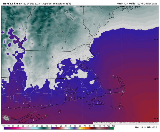
Christmas Eve: Becoming clear this evening, clouds return after midnight. Low 19-26, temperatures may rise after midnight.
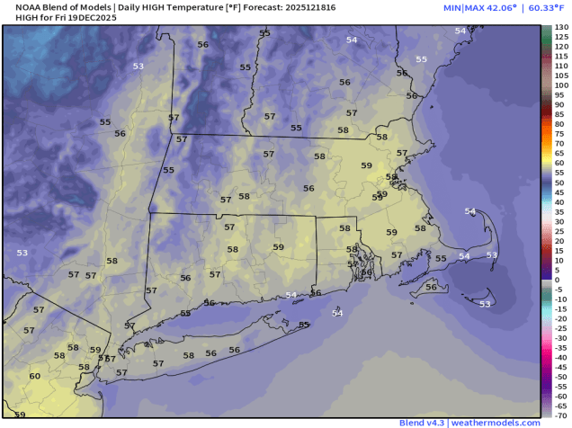
Christmas Day: Morning clouds, chance for a few flurries or sprinkles, becoming partly sunny and breezy in the afternoon. High 36-43.
Thursday night: Clear skies, except partly to mostly cloudy across much of Cape Cod, breezy. Low 6-13.
Friday: Morning sun, then increasing clouds. High 20-27.
Friday night: Plenty of clouds, chance for some light snow, mainly south of the Mass Pike. Low 11-18.
Saturday: Morning clouds and possibly some light snow, then becoming partly sunny. High 24-31.
Saturday night: Partly cloudy. Low 12-19.
Sunday: Some morning sun, then clouds return. High 34-41.
Sunday night: Cloudy with rain developing, possibly starting as freezing rain or sleet north and west of Boston. Low 25-32 in the evening, temperatures rise overnight.
Monday: Rain ending, some late-day clearing, breezy. High 37-44.