Some fantastic weather is on the way for the holiday weekend.
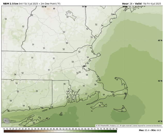
A cold front will cross the region this evening, bringing an end to the heat and humidity, and taking any lingering showers and thunderstorms offshore. High pressure then builds in for the Fourth of July with sunshine and a few clouds, much lower humidity, and seasonably warm temperatures. You won’t have any weather-related issues for outdoor activities during the day or at night. Saturday will be similar, perhaps a few degrees warmer, and maybe a touch more humid, but still very comfortable. For Sunday and Monday, the high will start to move offshore, so both temperatures and humidity will start to creep up, with temperatures above 90 in many areas.

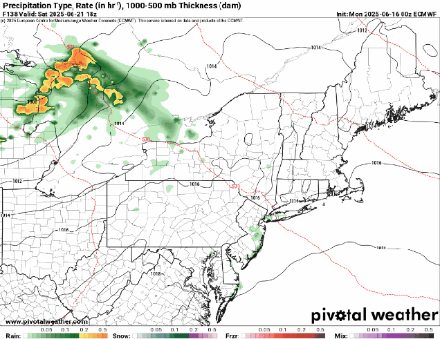
A cold front will also be starting to approach on Monday, so we’ll see clouds starting to move in, but it looks like any shower or thunderstorm activity associated with the front should hold off during the daylight hours. However, that’s not the only thing we’re keeping an eye on for Monday. There’s a cluster of showers and thunderstorms currently sitting off the Southeast coast along a decaying front. Forecast models show the potential for a little development this weekend and given NHC’s track record so far this year, it wouldn’t be a surprise it they decided to call it a Tropical Depression or even a Tropical Storm. It will bring some heavy rain and gusty winds to parts of the Carolinas this weekend before either dissipating or heading out to sea well south of New England. However, some of the moisture from that storm will move up the East Coast. If it does, it will interact with the aforementioned cold front coming through here on Tuesday, but some models show the potential for it to get up here as soon as Monday afternoon or evening. We’re not convinced that will be the case just yet, but we’re not ruling it out either. We’ll have more on that in our Weekly Outlook early Monday morning, and potentially in a special blog post this weekend if the system does develop.

Thursday night: Any lingering showers or thunderstorms end in the evening, clearing overnight. Low 58-65.
Friday: Sunshine and a few clouds, much less humid. High 76-83.
Friday night: Clear during the evening, becoming partly cloudy late at night. Low 54-61.
Saturday: A mix of sun and clouds. High 79-86.
Saturday night: Partly cloudy. Low 62-69.
Sunday: Partly to mostly sunny, breezy in the afternoon, becoming humid. High 87-94, cooler along the South Coast and across Cape Cod.
Sunday night: Clear to partly cloudy. Low 66-73.
Monday: A mix of sun and clouds, breezy, chance for a late-day shower or thunderstorm, humid. High 88-95, cooler along the South Coast and across Cape Cod.