Much of the upcoming weekend will be dry with temperatures fairly close to where we should be in the first half of April.
High pressure slides offshore with southwest winds bringing milder air into the region for tonight and Friday, except along the South Coast, where southwest winds are a seabreeze off the still-chilly Atlantic. Clouds will start to move in later Friday ahead of a cold front. That front may produce a few showers Friday night, but it will bring cooler air in for Saturday as high pressure builds in behind it. That high moves eastward on Sunday, with a chilly start to the day, but as winds shift back into the southwest, we’ll see milder air start to move back in by late in the day. Low pressure heading into southeastern Canada will drag a warm front across the region Sunday night, possibly accompanied by a few showers, setting up a very mild day on Monday.

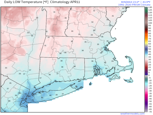
Thursday night: Partly cloudy. Low 31-38.
Friday: Sunshine gives way to increasing afternoon clouds, breezy. High 62-69, cooler across Cape Cod and the South Coast.
Friday night: Mostly cloudy, chance for a few showers, skies start to clear out late at night. Low 40-47.
Saturday: Plenty of sunshine, breezy. High 53-60.
Saturday night: Clear skies. Low 31-38.
Sunday: Partly sunny. High 51-58.
Sunday night: Mostly cloudy, chance for a few showers. Low 39-46.
Monday: More clouds than sunshine, breezy, milder. High 64-71, cooler across Cape Cod and the South Coast.
