A frontal system will be hanging around through the weekend, with its exact location determining our weather each day.
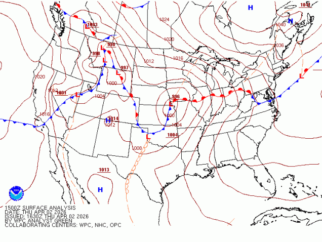
That front is well to our south this afternoon, with some rather chilly air in place, while weak disturbances will bring in some showers this afternoon and tonight. As a low pressure system moves into the Great Lakes and then southeastern Canada tonight and Friday it will drag that front back northward, resulting in a return of milder air, with some sunshine possible Friday afternoon. This should result in some rather nice weather for the Red Sox home opener, though the day may start gloomy and cool. However, our warm weather will be short-lived, as the front drops back southward on Saturday, bringing the cooler air back, though we’ll likely remain on the dry side. Another low pressure system heads into the Great Lakes for Easter Sunday, bringing the front northward once again, so the rollercoaster ride will continue, with temperatures turning milder once again. That system brings in some rain for Sunday and Sunday night before it drags the cold front through, with, you guessed it, colder air returning on Monday.

Thursday night: Plenty of clouds with some drizzle and fog as well as some widely scattered showers, mostly after midnight. Low 30-37.
Friday: Morning clouds, maybe a lingering shower, becoming partly sunny and breezy in the afternoon. High 58-65, cooler across the South Coast and Cape Cod.
Friday night: Variably cloudy. Low 46-53.
Saturday: Partly sunny with increasing and thickening afternoon clouds, breezy. High 56-63 in the morning, temperatures drop through the daytime.
Saturday night: Mostly cloudy. Low 35-42.
Sunday: Cloudy and breezy with showers likely. High 58-65, cooler across the South Coast and Cape Cod.
Sunday night: Showers end in the evening, gradual clearing overnight. Low 33-40.
Monday: A mix of sun and clouds, breezy. High 46-53.
