After days of endless social media hype about a snowstorm this weekend, we’ve finally there and while it’s not a blockbuster blizzard, we do have some light to perhaps moderate snow on the way.

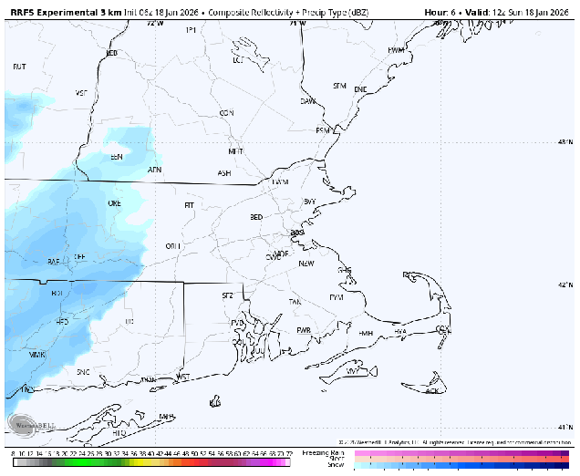
A cold front is moving toward the East Coast this morning, with a wave of low pressure developing along it. At the same time, an upper-level disturbance is heading toward the Northeast. That disturbance will bring in some snow showers this morning, possibly mixed with some rain across parts of southeastern Massachusetts. While these snow showers may whiten the ground, we’re not expecting much accumulation with them. Meanwhile, low pressure developing off the Southeast coast will ride up the front, passing south and east of New England later today and tonight. The precipitation shield with that system will move in from the south later this afternoon, with snow for much of the region, except rain across parts of Cape Cod and perhaps southeastern Massachusetts. Even there, a change to snow is expected by evening as colder air moves in on the backside of the storm. Some steady snow is likely across much of the region from late afternoon through the evening, tapering off to snow showers after midnight. The snow showers may not end across parts of eastern Massachusetts until around daybreak on Monday as the storm pulls away.
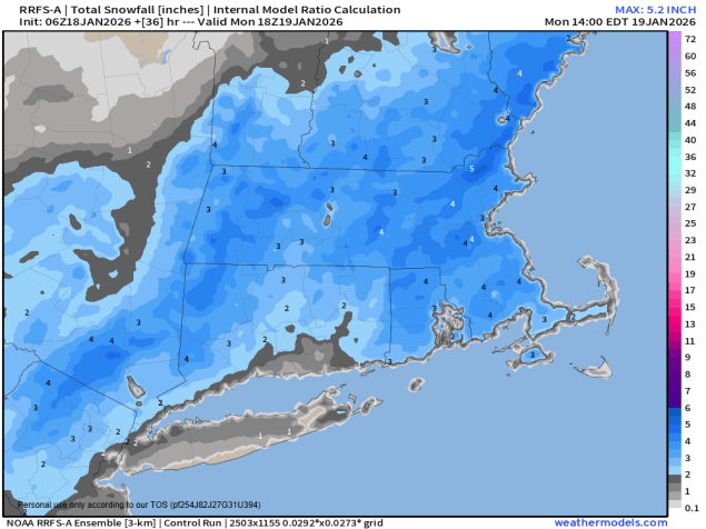
In general, we’re looking at 3-5 inches. of snow for much of eastern Massachusetts, with a few heavier amounts possible. As you head farther north into the Merrimack Valley and Southern New Hampshire, as well as across parts of Cape Cod, totals will be a little lighter, generally 1-3 inches.
The weather could have an impact on the Patriots/Texans playoff game at Gillette Stadium this afternoon. Some occasional light snow is expected, with temperatures in the lower to middle 30s and light winds.
