The weather pattern will turn a bit more active this week.
We’re starting off dry today as high pressure slides offshore, but there are two systems heading our way. Low pressure heading up the East Coast will pass by the region later today, producing some light rain across parts of eastern Massachusetts and Rhode Island. At the same time, another system crossing southeastern Canada will send a cold front our way, with some additional rain showers across much of the region tonight. Behind the front, breezy and cooler conditions are likely as high pressure builds in for Tuesday. Another system quickly follows for late Wednesday and Wednesday night, with another round of rain showers, with gusty winds likely behind the system on Thursday. High pressure builds back in, and as it moves eastward, winds will shift into the southwest on Friday, allowing milder air to move back in. It will be short-lived though, as another cold front brings in some showers for Friday night. Saturday should be another dry and cooler day, but yet another system follows on Sunday with another round of showers expected.
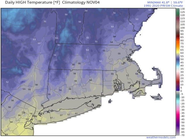
Monday: Becoming mostly cloudy with showers developing in the afternoon, mainly across eastern Massachusetts and Rhode Island. High 53-60.
Monday night: Showers end in the evening, skies clear out after midnight, breezy. Low 39-46.
Tuesday: Plenty of sunshine, breezy. High 50-57.
Tuesday night: Clear to partly cloudy. Low 36-43.
Wednesday: Increasing clouds. High 53-60.
Wednesday night: Cloudy and becoming breezy with scattered showers. Low 38-45.
Thursday: Becoming partly to mostly sunny, breezy. High 47-54.
Thursday night: Partly cloudy. Low 28-35.
Friday: Partly sunny in the morning, then clouds thicken up, showers possible at night. High 51-58.
Saturday: Morning showers, then clouds give way to some afternoon sun. High 54-61.
Sunday: Partly to mostly cloudy with a chance for more showers. High 52-59.
