Much of the Labor Day Weekend will feature dry but somewhat cool conditions.

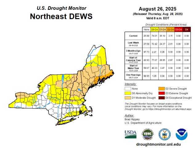
Clouds will start to move in and thicken up tonight as a cold front heads out way from the Great Lakes. That front will bring us some showers and a few thunderstorms during the day on Friday. While we need the rain as drought conditions continue to expand across the region, this will not be a drought-buster. We’re only expecting scattered showers, with some places seeing little, if any, rain from them. There will be a few downpours as well, and don’t be surprised if one or two storms produce some gusty winds and small hail, but overall, this isn’t a big deal. Once the front moves offshore high pressure will build in for the rest of the Labor Day Weekend. However, we’ll also have an upper-level low pressure area moving into the Northeast. That means that we’ll see some clouds popping up each day during the late morning and afternoon hours, dissipating after sunset. These clouds will be most numerous on Saturday, fewer on Sunday, and even fewer on Monday.
Thursday night: Increasing and thickening clouds. Low 56-63.
Friday: More clouds than sunshine with some showers and a few thunderstorms developing. High 70-77.
Friday night: Showers and storms ending in the evening, clearing after midnight. Low 48-55.
Saturday: Morning sunshine with some afternoon clouds. High 68-75.
Saturday night: Clear skies. Low 49-56.
Sunday: Sunny in the morning, partly sunny in the afternoon. High 69-76.
Sunday night: Clear to partly cloudy. Low 50-57.
Monday: Partly to mostly sunny. High 72-79.
