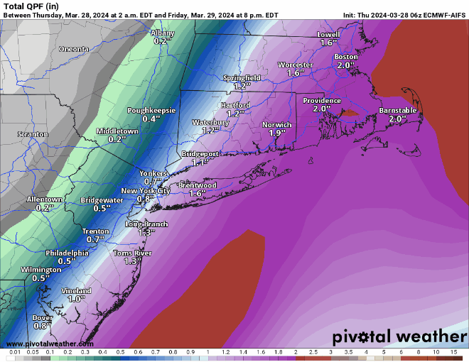
As we close out March, more heavy rain is expected.

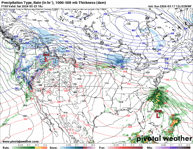
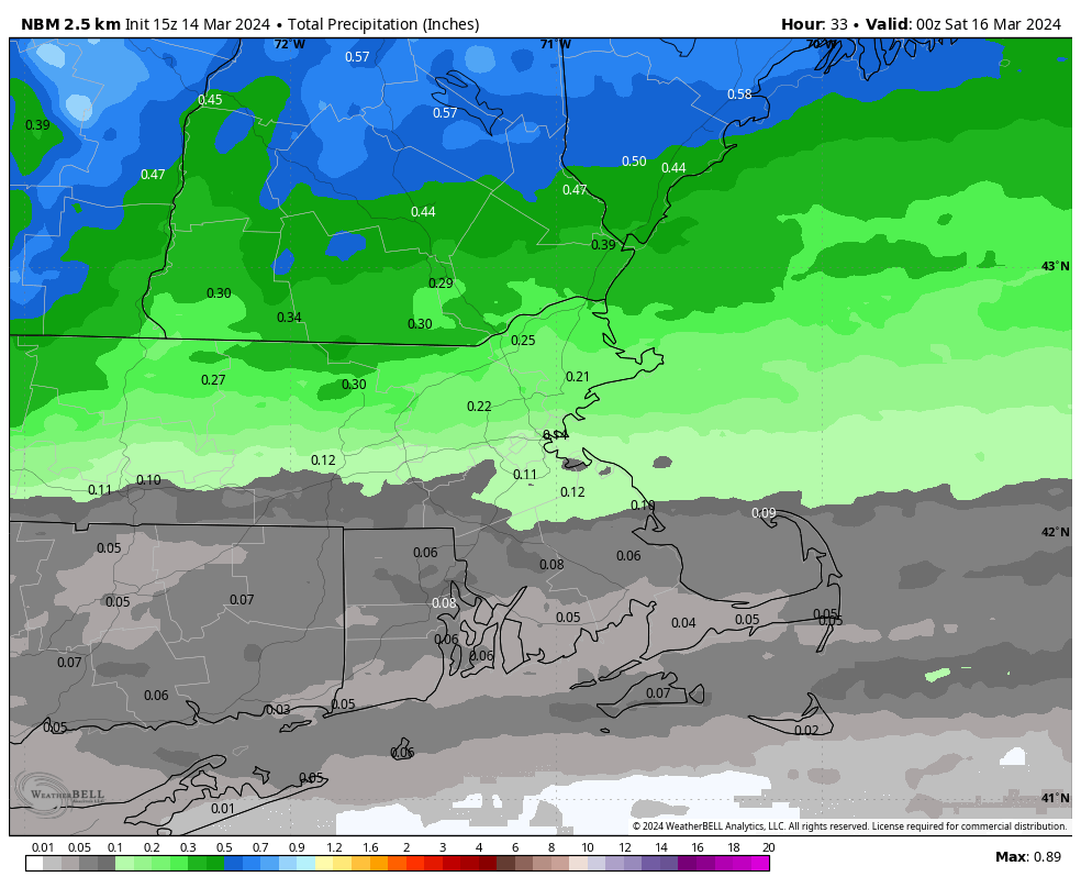
Happy Opening Day to all who celebrate! As the Red Sox begin their campaign in Seattle, expect the roof to be closed this evening as some rain is likely with temperatures in the upper 40s. We’re also expecting rain around here this evening and tonight as low pressure rides up the East Coast along a frontal boundary. Some of the rain will be heavy, with flood watches in effect for most of the region. Many rivers and streams are running high due to recent rain, and this will only worsen the situation. Rain will gradually end on Friday as the system pulls away, but with colder air filtering in behind the storm, the rain may mix with or even change over to wet snow before ending. It will also be quite windy as the storm system continues to strengthen. High pressure builds in for Saturday with sunshine along with windy and seasonably cool conditions. A weak system will pass south of the region Saturday night, but with drier air in place, we’ll just see some clouds as it passes by. High pressure returns for Sunday and Monday with dry and seasonable weather, but clouds will start to move back in later Monday ahead of the next storm system headed our way.
Thursday night: Periods of rain, some of it heavy, becoming breezy. Low 34-41.
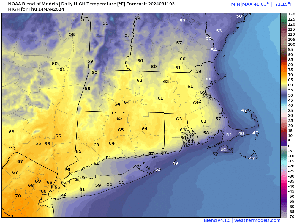
Friday: Rain ending by early afternoon, possibly mixed with a little wet snow, becoming windy. High 48-55.
Friday night: Skies clear out, still windy. Low 31-38.
Saturday: Sunshine and some late-day clouds, winds gradually diminish. High 47-54.
Saturday night: Partly to mostly cloudy, just a slight chance for a shower. Low 31-38.
Sunday: Becoming partly to mostly sunny, breezy. High 48-55.
Sunday night: Partly cloudy. Low 29-36.
Monday: Partly sunny. High 49-56.