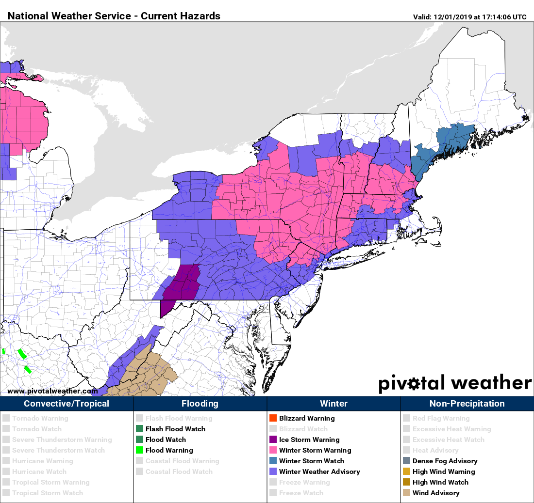
We warned you yesterday, and now it’s just about here. The first winter storm of the season, coincidentally falling on the first day of meteorological winter.
Low pressure is moving into the Great Lakes this afternoon while a secondary area of low pressure is starting to develop across the Delmarva Peninsula This secondary low will move northeastward tonight, then meander around south of Long Island, before drifting eastward on Monday. This will spread snow into the region later this afternoon and evening. Snow may fall moderate to heavy at times during the evening and into the first part of the overnight. As warmer air moves in aloft and at the surface, a change to sleet and then rain is expected along the coast, pushing inland as the night moves on. There’s still a bit of a question as to how far inland that changeover occurs. Right now, our best estimate is somewhere around the Massachusetts/New Hampshire border, give or take 10 miles.
Precipitation should lighten up considerably toward daybreak as the low moves southeast of New England. We’ll still have occasional snow showers with some drizzle or freezing drizzle as the intensity lightens up, with only light accumulations during the day , mainly north and west of I-95. If you’re south and east of I-95, these will be mostly rain showers, as temperatures will likely be in the upper 30s or 40s, thanks to a coastal front.

As the low moves east of Cape Cod on Monday, an upper-level low pressure system will move overhead, pulling the system northward into the Gulf of Maine, where it will start to intensify and also slow down. This will result in another period of steady snow Monday night into midday Tuesday. There will likely be a band of heavier snow that sets up on the backside of this storm. Exactly where that band sets up is still a question. Several models want to keep moderate snow going to much of the day Tuesday across most of eastern Massachusetts and into the New Hampshire Seacoast and most of Maine. We’re still not convinced that will happen. Right now, we think it’s more likely that band stays just offshore, clipping the Seacoast and the Eastern Massachusetts coastline. If we need to make changes to this part of the forecast, we’ll do so in our Weekly Outlook early Monday morning.
Again, the big question – how much snow can we expect? Our thinking isn’t very different than yesterday:
Cape Cod: 1-2″ (mainly on Tuesday)
Southeastern MA: 2-5″ (1-2″ Sunday night, another 1-3″ Tuesday)
I-95 corridor (Boston/Providence): 3-6″ (1-2″ Sunday evening, 2-4″ Monday night/Tuesday) The farther away from the coast, the higher the amounts.
North Shore/MetroWest: 4-8″ (3-5″ Sunday night, 1-3″ Monday night/Tuesday) The farther away from the coast, the higher the amounts.
Merrimack Valley: 6-12″ (4-8″ Sunday night, 2-4″ Monday night/Tuesday)
Central and Southern NH: 8-12″ (6-10″ Sunday night, 1-2″ Monday night/Tuesday)
NH Seacoast: 10-15″ (6-9″ Sunday night, 3-6″ Monday night/Tuesday)

The good news is that the rest of the week looks storm-free. It’ll be chilly (it is December after all), but no more snowstorms for now. Don’t expect that to continue for the rest of the month.
