We’re into December already, which means that 2018 is nearly over. Before we officially turn the page, we’ll just let you know that this was one of the wettest Novembers ever across the Northeast and Mid-Atlantic states, and in many locations it was the wettest on record. The same could also be said for meteorological autumn as a whole (defined as the months of September, October, and November.)

December started off on a wet note, which a system producing an inch or so of rain across the area late Saturday night into Sunday, but much of the upcoming week should be dry. Yes, you can put your umbrella and raincoat away for now. In fact, you won’t even need a heavy jacket today, as it will be quite mild (by December standards). We’ll start the morning off with some patchy dense fog, which may have trouble burning off due to the low December sun angle. However, once it does, we’ll get some sunshine, which may help temperatures climb into the 50s in many areas. The warmth will be short-lived however, as a strong cold front will move through late in the day.
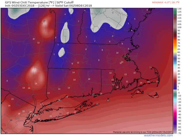
High pressure builds in for Tuesday through Thursday with dry and much colder conditions. We’ll have plenty of wind on Tuesday as well, creating rather chilly wind chills. For Wednesday and Thursday, we’ll need to keep an eye on the potential offshore storm system, but right now it looks like it will stay too far offshore to have any impact here. Another cold front moves through late Thursday, bringing us even more cold air for the end of the week and start of the weekend. Parts of the area may struggle to get into the 30s on Saturday.
After that, things get complicated. For Sunday (and/or next Monday), most of the models have been showing the potential for a coastal storm. The problem is, none of these models have been consistent at all. On some runs, the models show the storm staying well to our south. Sometimes, they’ll show no storm at all. Other times, they’ll show a classic Nor’easter with heavy snow inland and rain along the coast. Other times, they show a storm that buries the South Coast, but has virtually no precipitation at all north of Boston. These models never seem to show the same solution from one run to the next, and they don’t seem to agree with one another either. Given that it’s a week away, this isn’t too much of a surprise. So for now, we’ll just keep an eye on it. If the threat does materialize, we’ll have a special blog post later in the week, once we’re a little more certain about what may or may not happen.

Monday: Morning fog, then becoming partly to mostly sunny and breezy. High 49-56.
Monday night: Clear to partly cloudy. Low 23-30.
Tuesday: Sunshine and a few clouds., breezy, and colder. High 30-37.
Tuesday night: Clear skies. Low 16-23.
Wednesday: Sunny in the morning, some clouds move in during the afternoon. High 30-37.
Thursday: Intervals of clouds and sunshine, slight chance for a rain or snow shower late in the day and at night. High 34-41.
Friday: Some morning clouds, then becoming partly to mostly sunny and breezy. High 31-38.
Saturday: A mix of sun and clouds. High 26-33.
Sunday: Partly to mostly cloudy and breezy with a chance for snow or rain. High 30-37.
