The humidity is going to stick around for most of the week, with heat to start the week as well.

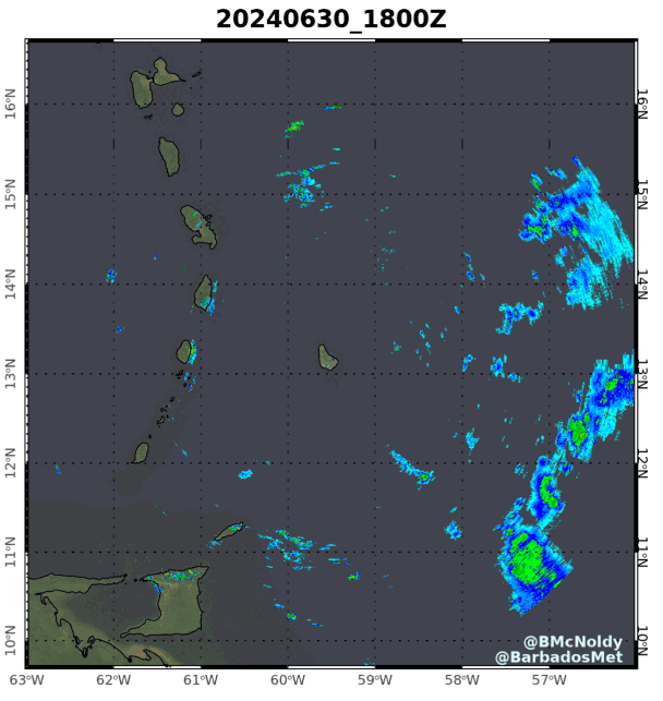
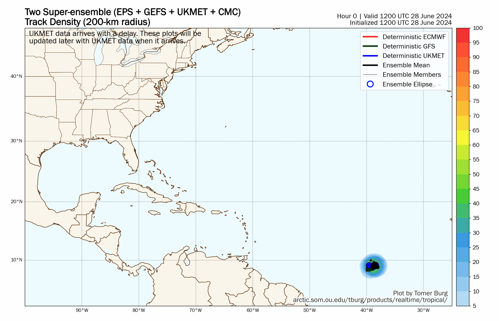
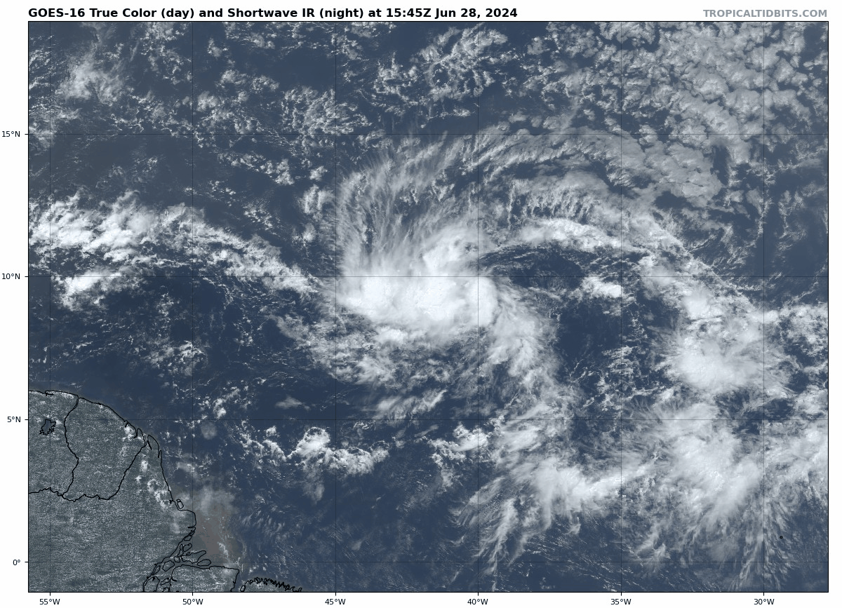
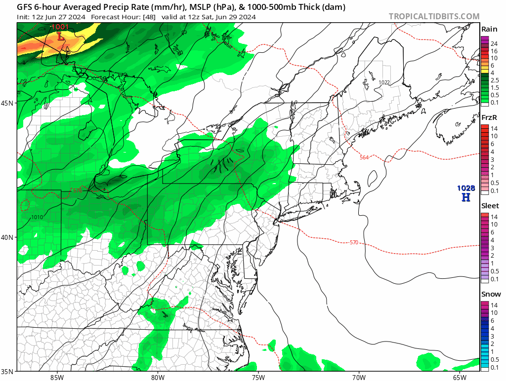
We start the week off with very warm to hot and humid conditions across the region for Monday and Tuesday thanks to a Bermuda high. Southwest winds will pump the heat and humidity in, though it will act as a seabreeze along the South Coast. Away from the South Coast we’re looking at temperatures well into the 80s and lower 90s, with dewpoints likely in the lower to middle 70s. As a result, the heat index will be near or over 100 during the next few afternoons. A Heat Advisory is in effect for Monday and Tuesday for parts of the region, and it will likely get expanded to not only include more of the region, but extended into Wednesday as well. A few widely scattered showers and thunderstorms may pop up Tuesday afternoon, but most of the region should remain dry. A weak frontal boundary drops in on Wednesday, but we’ll likely stay quite warm and humid with the boundary north of us, but it will help to trigger more showers and thunderstorms, especially north of the Mass Pike. That front will hang around for much of the remainder of the week, giving us more cloudcover, which will keep temperatures a little lower, but also better chances for showers and thunderstorms each day, especially Thursday and Friday, when what’s left of Beryl passes by, likely to our north and west. With a humid airmass in place, any of the thunderstorms may produce some heavy downpours each afternoon, especially when Beryl’s remains pass by. While not everyone will get hit each day, by the end of the week, it wouldn’t be a surprise if some spots had picked up anywhere from 3 to 5 inches of rain. At some point during the weekend, that boundary may sag southward, bringing in some slightly drier air, and limiting the shower and thunderstorm activity, though when, or if, that occurs, is still a question mark.

Monday: Sunshine and some afternoon clouds. High 87-94, cooler along the coast.
Monday night: Partly to mostly cloudy, areas of fog near the South Coast. Low 67-74.
Tuesday: Partly sunny, slight chance for an afternoon shower. High 86-93, cooler along the South Coast.
Tuesday night: Partly to mostly cloudy, again, some fog possible near the South Coast. Low 68-75.
Wednesday: Intervals of clouds and sun, some afternoon showers or thunderstorms likely, especially north of the Mass Pike. High 83-90, cooler right along the South Coast.
Thursday: Partly sunny, a few showers and thunderstorms possible, again mostly north of the Mass Pike. High 80-87.
Friday: A mix of sun and clouds with more showers and thunderstorms around. High 83-90.
Saturday: Partly sunny, chance for a few additional showers and thunderstorms, mostly south of the Mass Pike. High 81-88.
Sunday: A mix of sun and clouds, chance for a shower or thunderstorm. High 84-91.