Another potent storm system is on the way, with quite a bit of rain and wind expected.
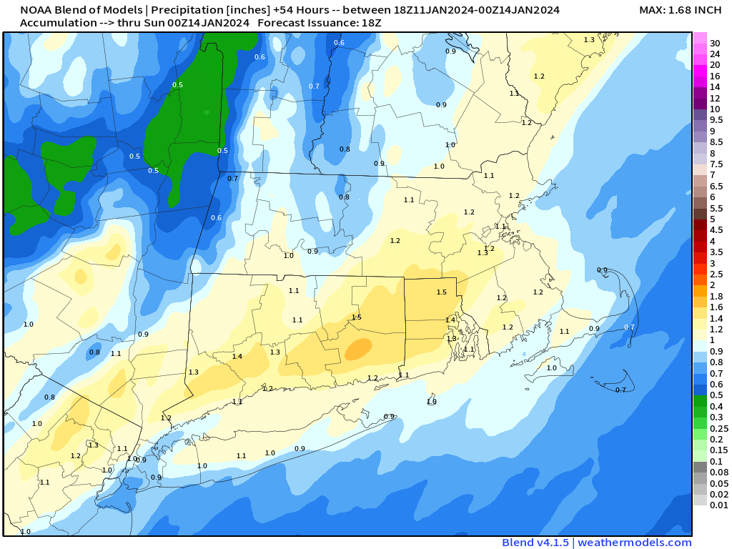
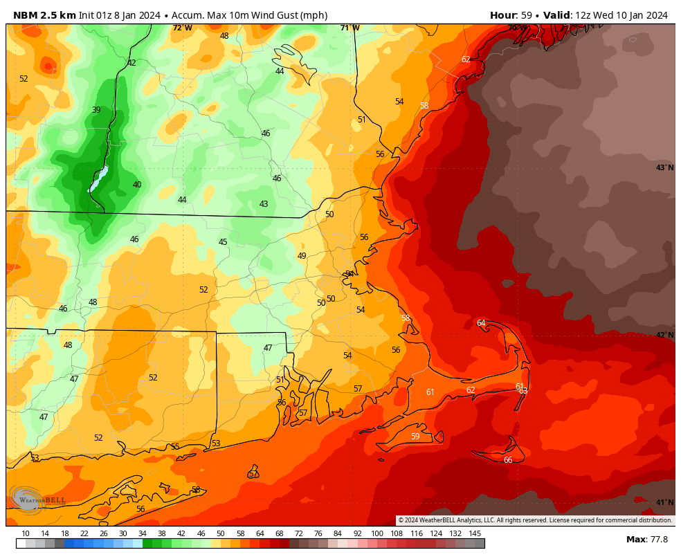
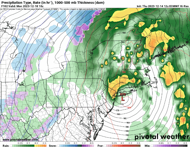
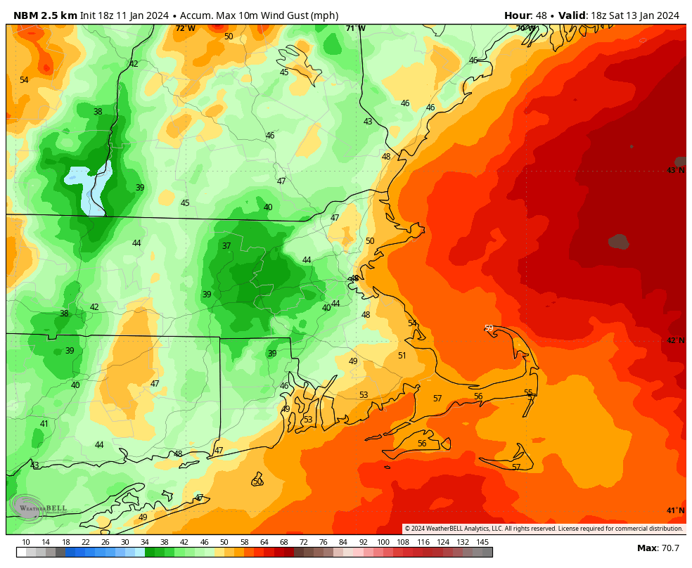
Before we get to the stormy weather, high pressure remains in control tonight and a good chunk of Friday with dry weather. Clouds will stream in on Friday as low pressure heads toward the Great Lakes once again. This storm will be fairly similar to the one we had a couple of days ago. However, the airmass in place ahead of it is not as cold, and the snowcover is mostly gone, so this one will be mainly rain for most of the region. There could be some light snow right at the start from central Massachusetts into southern New Hampshire, but it won’t last long. We’re also not expecting as much rain from this storm, though there will still be quite a bit, with widespread totals of 1-2 inches likely. This will worsen flooding issues across the region. Flood Watches have been issued for much of the area once again. Winds will also be gusty, but again, not quite to the magnitude of the last storm. Sustained winds of 20-30 mph are expected, with gusts upwards of 40 mph inland, and 50-60 mph along the coast. In addition, some coastal flooding is also possible at the time of high tide Saturday morning/early afternoon.
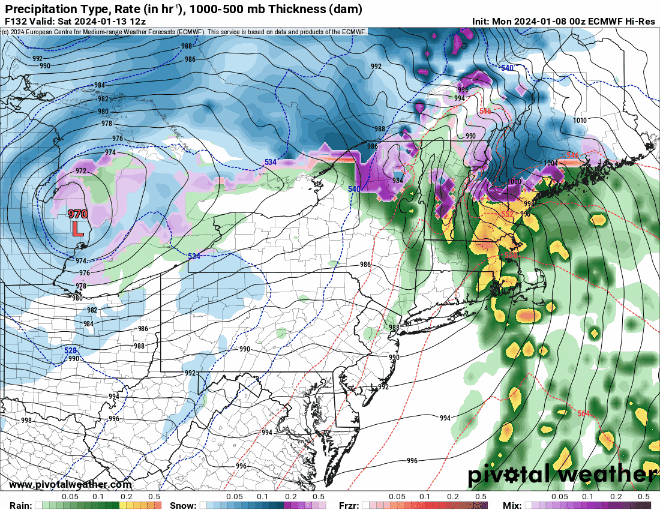
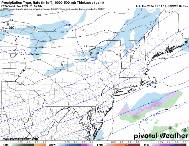
The rain should come to an end by midday Saturday, then we’ll start to clear out, with high pressure building in for Saturday night into Monday with windy and colder conditions. Even though it’s beyond the range of this outlook, we feel it’s worth mentioning that the models are showing the potential for another storm to impact the region on Tuesday, and this one could be more white than wet for much of the region. We’ll get into that in more detail in our Weekly Outlook early Monday morning.
Thursday night: Partly cloudy through the evening, clearing overnight. Low 27-34.
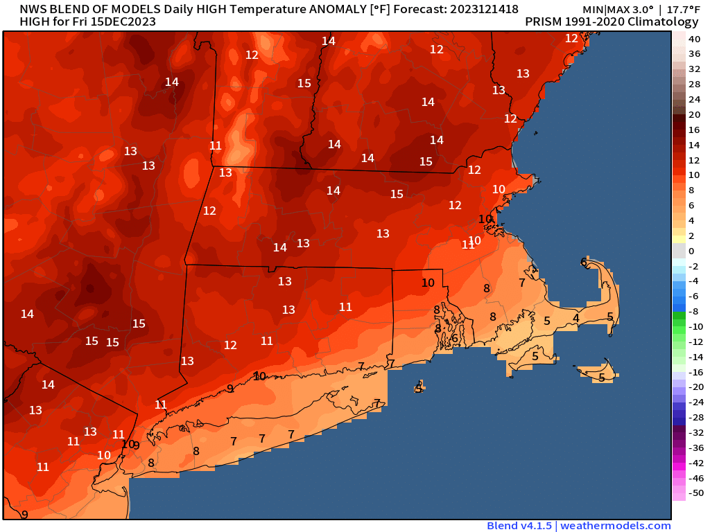
Friday: Sunny in the morning, clouds move back in during the afternoon. High 39-46.
Friday night: Cloudy and becoming windy with rain developing, possibly starting as some snow from central Massachusetts into southern New Hampshire. Rain could be heavy at times. Low 30-37 during the evening, temperatures rise overnight.
Saturday: Steady rain ending in the morning, a few showers possible through the afternoon with some late-day clearing, windy. High 51-58 in the morning, temperatures drop in the afternoon.
Saturday night: Clear to partly cloudy, windy. Low 25-32.
Sunday: A mix of sun and clouds, breezy, colder. High 32-39.
Sunday night: Partly cloudy, breezy. Low 17-24.
Monday: Partly sunny. High 29-36.