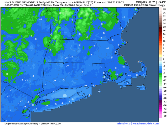
As the year comes to an end, our cold weather will not follow suit.
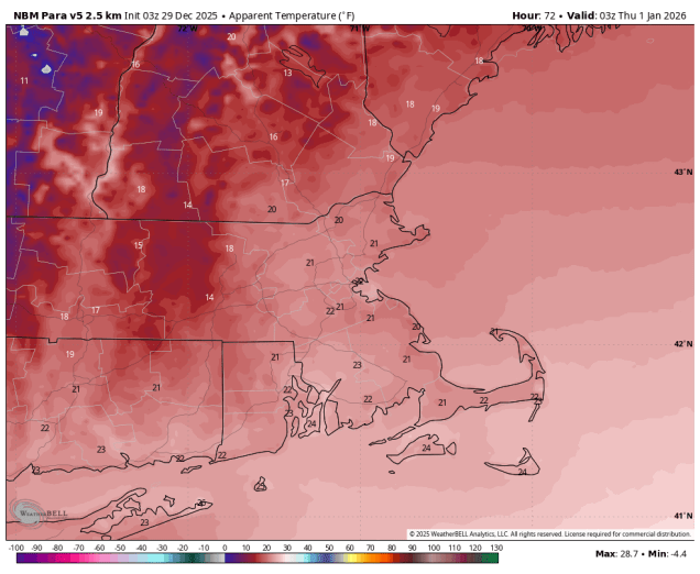
The week starts off with a potent low pressure system moving into southeastern Canada dragging a warm front across the region. In the cold air north of the front some freezing rain is likely this morning, mainly in southern New Hampshire, before the warmer air makes its way in. South of the warm front, i.e. the rest of our area, it’ll be a mild day with temperatures into the 40s and lower 50s with some occasional showers and gusty south to southwest winds. A strong cold front moves through late in the day, with more showers and perhaps some steadier rain for a bit, ending as the front moves offshore. Gusty west to northwest winds behind the cold front usher much colder air back in tonight and Tuesday. We’ll have plenty of clouds around, and a snow shower or two can’t be ruled out. Another arctic cold front moves through on New Year’s Eve, with a chance for some snow showers late in the day and at night, so keep this in mind if you’re heading out to ring in the New Year. Any linger snow showers should end in the morning, then dry and cold weather settles in for the end of the week and the weekend.
Monday: Freezing rain changing to rain showers from the Merrimack Valley northward during the morning, occasional showers elsewhere, with some steadier rain possible in the afternoon, becoming breezy. High 36-43 across southern New Hampshire, 44-51 across Massachusetts and Rhode Island.
Monday night: Becoming partly cloudy and windy. Low 17-24.
Tuesday: Intervals of clouds and sun, slight chance for a snow flurry, windy. High 23-30.
Tuesday night: Partly to mostly cloudy. Low 15-22.
New Year’s Eve: More clouds than sun, chance for some late-day snow showers, breezy. High 28-35.
Wednesday night: Mostly cloudy with some additional snow showers. Low 14-21.
New Year’s Day: Any snow showers end early, then a mix of sun and clouds, breezy. High 23-30.
Thursday night: Clear to partly cloudy. Low 8-15.
Friday: Intervals of sun and clouds. High 22-29.
Saturday: Partly sunny. High 27-34.
Sunday: A mix of sun and clouds. High 26-33.
