Astronomical winter doesn’t start for a few more weeks, but Mother Nature is giving us a preview this weekend.

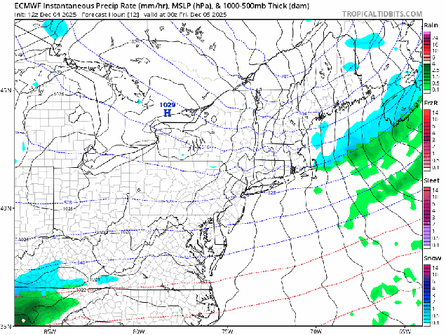
An arctic cold front crossed the region this evening, producing some snow showers and squalls as it moved through. Behind it, much colder air is going to settle in tonight on gusty northwest winds. By Friday morning, temperatures will be in the single numbers and teens across most of the region, with some subzero readings possible in areas with fresh snowcover. Despite some sunshine on Friday, temperatures will only get into the 20s and lower 30s as winds die down, but clouds will quickly return ahead of another weak system. That system will pass south of the region Friday night and early Saturday, keeping the bulk of the precipitation offshore, but a trough extending from the system may produce a few snow showers. Across eastern Massachusetts and Cape Cod it should be mild enough for rain showers instead We’ll clear out Saturday night, then Sunday should be a decent day for early December, but another strong cold front moves through at night. This one will also produce some snow showers, and behind it we’ll turn rather cold again behind that front on Monday.
Thursday night: Snow showers end in the evening, then becoming clear, except remaining partly to mostly cloudy across the Outer Cape. Breezy through the evening, winds start to diminish after midnight. Low 2-9. except 10-17 in urban areas and right along the coast.
Friday: Sunshine gives way to increasing afternoon clouds. High 22-29, a little milder across Cape Cod.
Friday night: Becoming cloudy, some snow showers possible after midnight, mainly south of the Mass Pike. Low 12-19 during the evening, a little milder in urban areas and right along the coast. Temperatures will slowly rise overnight.
Saturday: Plenty of clouds with snow showers likely inland, rain showers south and east of I-95. High 36-43.
Saturday night: Clearing. Low 19-26, a little milder across Cape Cod.
Sunday: Morning sun, then clouds return. High 33-40.
Sunday night: Plenty of clouds with some snow showers likely, some clearing late at night. Low 15-22.
Monday: Becoming mostly sunny, breezy. High 24-31, a little milder across Cape Cod.
