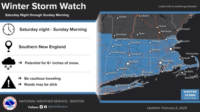
Another snowstorm is on the way for most of the region this weekend.
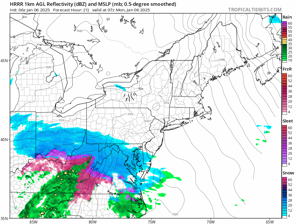
The active pattern that meteorologists have been talking about for a while has arrived, and the next snowstorm will impact the region this weekend. A low pressure system will develop in the Southern Plains later today and head toward the Tennessee Valley. A secondary low pressure system will likely develop off the Mid-Atlantic coastline late Saturday, passing south of New England Saturday night and early Sunday before pulling away. Snow will move into the region from southwest to northeast Saturday evening, and it could be moderate at times overnight Saturday night into Sunday morning. Snow should wind down and end around midday Sunday. We should have enough cold air in place for the precipitation to fall as all snow for most of the region, except possibly right along the South Coast and across parts of Cape Cod and the Islands.

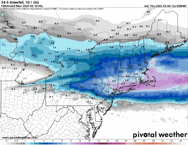
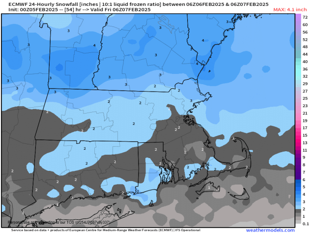
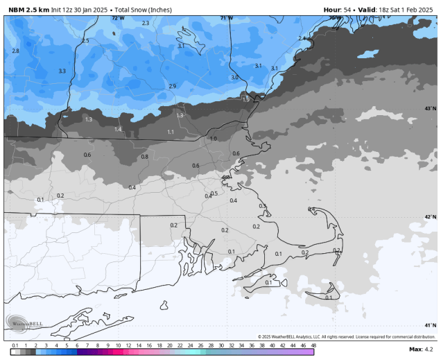
With a track south of New England, right now it looks like the steadiest and heaviest snow will mainly be south of the Mass Pike, but this is obviously dependent on the track. A track a little farther to the south means even less snow across southern New Hampshire and northern Massachusetts, while a track a little farther north brings the heavier snow a little farther north, but also the chance for some rain to mix in a little farther inland near the South Coast. With the storm moving relatively quickly, we’re not expecting any widespread heavy amounts, but there could be a period very early Sunday where the snow falls moderate to heavy at times.

By the time everything winds down around midday Sunday, we’re looking at a general 4-8 inches across most of the region, with a few heavier amounts possible, especially south of the Mass Pike. Obviously if there’s some rain mixed in near the South Coast this will keep amounts down a little.

That’s not the end of the pattern though – we’re only just getting started. We’ll go into more detail in our Weekly Outlook Monday morning, but there could be additional storms impacting our region Tuesday night into Wednesday, Wednesday night into Thursday, and again next weekend (and possibly more beyond that). Obviously, it is way too early for any specifics with these storms, including whether they will actually impact us or not, but the potential is there for a very wintry February.