The rain and mild temperatures are on the way out, and windy and colder weather is heading back in.

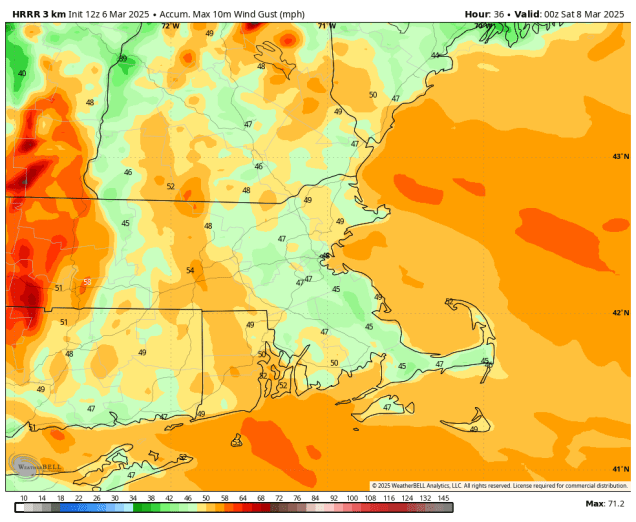
The storm that brought us the rain last night is pulling away from the region and the cold front trailing it is offshore, so changes have started. We’ll start to clear out overnight, but northwest winds will start to pick up tonight, ushering cooler air back in. As that storm begins to intensify to our east, we’ll have strong northwest winds on Friday, possibly gusting to 40-50 mph or higher at times. Despite sunshine, it will be much cooler, and the wind will only make it feel even colder than that. We’ll see some clouds move back in on Saturday with a weak disturbance, but aside from a few stray flurries, we should remain dry. Winds will pick back up with this disturbance moving through, but not to the extent of what we’ll have on Friday. High pressure builds in for Sunday with dry and seasonably cool conditions. Another weak system swings through late Sunday night and early Monday with a few rain or snow showers, then we should clear out by afternoon with temperatures starting to moderate once again.
Thursday night: Any lingering showers end in the evening, becoming partly cloudy and windy overnight. Low 22-29.
Friday: Sunshine and some afternoon clouds, windy. High 36-43.
Friday night: Partly cloudy, still breezy. Low 25-32.
Saturday: A mix of sun and clouds, slight chance for a snow flurry, becoming windy again. High 33-40.
Saturday night: Clear skies with diminishing winds. Low 20-27.
Sunday: Morning sunshine, increasing afternoon clouds. High 37-44.
Sunday night: Partly to mostly cloudy. Low 24-31.
Monday: A few rain or snow showers possible in the morning, skies start to clear out in the afternoon. High 45-52.
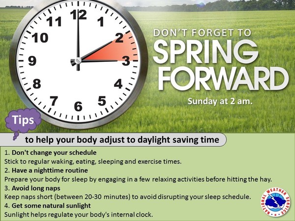
Also, don’t forget that Daylight Saving Time begins this weekend. At 2am on Sunday clocks move ahead 1 hour, and stay that way until November 2.
