A much quieter weather pattern is expected for the next few days.

A storm system will pass well offshore tonight, but close enough for some light snow and snow showers across Cape Cod and the Islands, and maybe a few flurries into southeastern Massachusetts. Parts of the Outer Cape and Islands could see an inch or two, but otherwise, this is not a problem for most of the region. The system pulls away Friday and high pressure builds in with sunshine along with breezy conditions. This won’t be a repeat of Monday with strong winds and cold temperatures, but it will be a breezy day. Winds will die down Friday evening, setting up a chilly night. A weak upper-level disturbance brings in some clouds later Saturday, but other than a few flurries, we’ll stay dry. Temperatures will slowly moderate over the weekend with high pressure in control. We’ll see more clouds on Monday as another system heads our way, but any rain or snow showers will hold off until nighttime.
Thursday night: Mostly cloudy, light snow or snow showers across Cape Cod and the Islands, a coating to 2 inches possible, a few flurries across southeastern Massachusetts, some clearing late at night. Low 12-19.
Friday: Becoming partly to mostly sunny, breezy. High 25-32.
Friday night: Clear skies. Low 8-15.
Saturday: Sunshine and some late-day clouds. High 29-36.
Saturday night: Partly to mostly cloudy, chance for a snow flurry. Low 15-22.
Sunday: Partly sunny. High 34-41.
Sunday night: Partly to mostly cloudy. Low 17-24.
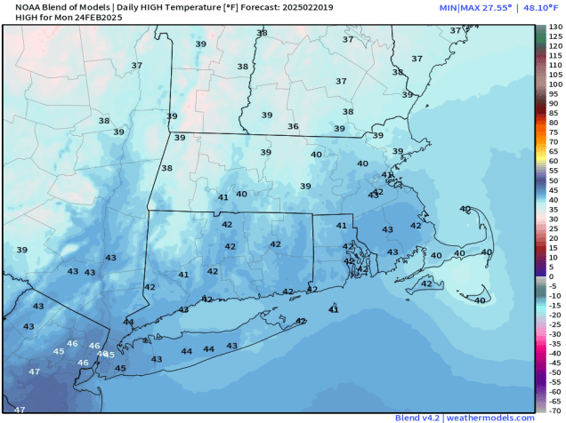
Monday: Intervals of clouds and sun. High 37-44.
