Dry weather is expected for much of the upcoming week.
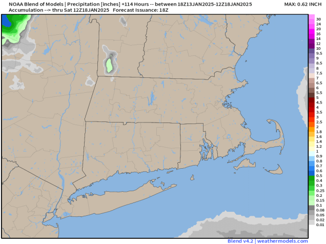
We’re starting the week off on a mild note, but that won’t last too long. A cold front moves through this evening, with some rain or snow showers accompanying it. Behind it, windy and colder weather moves back in for Tuesday and Wednesday, possibly Thursday as well. A couple of upper-level disturbances will move through over the next few days which may trigger a few widely scattered flurries, but for the most part it will be dry. Temperatures will start to moderate on Friday as high pressure moves offshore. A storm system moves through on Saturday with some rain or snow showers, then a second one follows late Sunday with some more rain or snow likely.

Monday: Mostly cloudy, a few rain or snow showers possible late in the day. High 36-43.
Monday night: A few rain or snow showers during the evening, clearing overnight. Low 19-26.
Tuesday: Sunshine and some afternoon clouds, breezy. High 27-34.
Tuesday night: Partly cloudy. Low 16-23.
Wednesday: Mostly sunny, breezy. High 24-31.
Thursday: Partly sunny. High 26-33.
Friday: Partly to mostly sunny. High 32-39.
Saturday: Mostly cloudy, showers likely late in the day and at night, possibly changing to snow well north and west of Boston. High 40-47.
Sunday: Intervals of clouds and sun, snow or rain possible at night. High 35-42.
